1 - 5 of 5 records
Indiae Orientalis, insularumque adiacientium typus
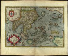
Description: Scan specification: Indus Color Book Scanner 5005 ; 600 dpi ; color ; TIFF ; lzw compressionnScan date: February 2019.nOriginal held in University Libraries Special Collections.nDate taken from WorldCat record.
Member of: Venable Maps
Resource Type: cartographic
A Map of the East India Islands
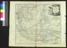
Description: Appeared in Millar's New and Universal System of Geography (1782-1785),On verso: Blank
Member of: Venable Maps
Resource Type: cartographic
India quae Orientalis dicitur, et Insulae adiacentes
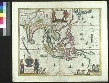
Description: Appeared in Blaeu's two-volume atlas between 1635 and 1664.,On verso: Text: Les Indies
Member of: Venable Maps
Resource Type: cartographic
Tabula Indiae Orientalis
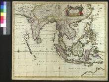
Description: On verso: Blank
Member of: Venable Maps
Resource Type: cartographic
A New Map of East India
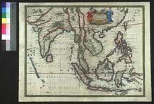
Description: Appeared in Speed's Prospect of the Most Famous Parts of the World (first published in 1627),On verso: Text: The Description of India
Member of: Venable Maps
Resource Type: cartographic