1 - 2 of 2 records
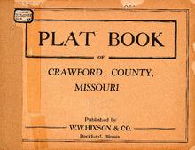
Plat Book of Crawford County, Missouri

Description: Map of Crawford County, Missouri -- T.35N. Part of Osage R.2W -- T.36N. Part of Osage R.2W -- T.36 and 37N. Part of Courtois R.2W -- T.38N. Part of Courtois R.2W -- T.38 and 39N. Part of Liberty R.2W -- T.39 and 40N. Part of Boone R.2W -- T.35N. Part of Osage R.3W -- T.36N. Part of Osage R.3W -- T.36 and 37N. Part of Courtois R.3W -- T.38N. Part of Courtois R.3W -- T.38 and 39N. Part of Liberty R.3W -- T.39 and 40N. Part of Boone R.3W -- T.37N. Part of Union R.4W -- T.37 and 38N. Part of Meramec R.4W -- T.36N. Part of Union R.4W -- T.37 and 38N. Part of Meramec R.5W -- T.38 and 39N. Benton R.4 and 5W -- T.39 and 40N. Part of Oak Hill R.4 and 5W -- T.36N. Part of Union R.5W -- T.37N. Part of Union R.5W -- T.38N. Part of Knob View R.5W -- T.39N. Part of Knob View R.5W -- T.40N. Part of Oak Hill R.5W.
Member of: Plat Books of Missouri (Collection)
Resource Type: cartographic
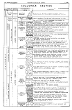
The Geology of the Steelville quadrangle, Missouri,Steelville quadrangle, Missouri

Description: Folded maps and diagrams in pocket.,Bibliography: pages 79-82.,LSO ID: umlr000048
Member of: Missouriana: Geology (Collection)
Resource Type: Text