1 - 2 of 2 records
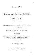
History of Howard and Chariton Counties, Missouri

Description: Includes index.,LSO ID: umlc000011.
Member of: Missouriana: History (Collection)
Resource Type: Text
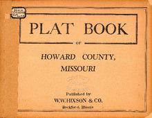
Plat Book of Howard County, Missouri

Description: Map of Howard County, Missouri -- T.48 and 49N. South Missouriniteau R.14 and 15W -- T.50N. North Missouriniteau R.14 and 15W -- T.51N. Part of Bonne Femme R.14 and 15W -- T.52N Part of Bonne Femme R.14 and 15W -- T.50N. Part of RichMissourind R.15W -- T.51N. R.15W -- T.52N. Part of Burton R.15W -- T.48 and 49N. Part of Franklin R.16W -- T.50N. Part of RichMissourind R.16W -- T.51N. R.16W -- T.52N. Part of Prairie R.16W -- T.48 and 49N. Part of Franklin R.17W -- T.50N. R.17W -- T.51N. Part of Chariton R.17 and 18W -- T.52N. Part of Chariton R.17W -- T.49N. Part of Boons Lick R.17 and 18W -- T.50N. R.18W.
Member of: Plat Books of Missouri (Collection)
Resource Type: cartographic