16 - 30 of 45 records
Lexington, Missouri, 1894 March, sheet 1
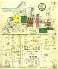
Description: Lexington, Missouri, March 1894. Index; Streets: 22nd (Second) Street, 23rd (Third), Clark, 24th (Fourth), Lewis, South, Main
Member of: Lexington, Missouri maps
Resource Type: cartographic
Lexington, Missouri, 1889 November, sheet 6
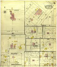
Description: Lexington, Missouri, November 1889. Streets: 2nd (Second) Street, 3rd (Third) Street, Ice, Franklin Avenue, Wilson, Washington Avenue, 18th (Eighth), Elm
Member of: Lexington, Missouri maps
Resource Type: cartographic
Lexington, Missouri, 1910 January, sheet 07
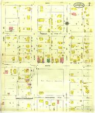
Description: Lexington, Missouri, January 1910. Streets: Main, Franklin Avenue, South, Washington, S. 22nd (Second) Street, S. 23rd (Third) Street, S. 24th (Fourth) Street
Member of: Lexington, Missouri maps
Resource Type: cartographic
Lexington, Missouri, 1900 May, sheet 1
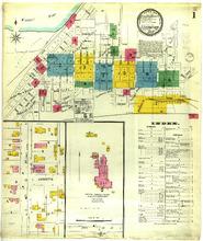
Description: Lexington, Missouri, May 1900. Index; Streets: Lafayette, 16th (Sixth) Street, Oak
Member of: Lexington, Missouri maps
Resource Type: cartographic
Lexington, Missouri, 1894 March, sheet 5
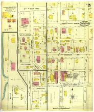
Description: Lexington, Missouri, March 1894. Streets: 13th, Main Cross, 12th, Poplar, 11th, Cedar, Lafayette, South, Main, North, Franklin Avenue, Water, 16th (Sixth), Oak, Avenue Street, Ridgeway, 18th (Eighth), Elm, 19th (Ninth), Lynn
Member of: Lexington, Missouri maps
Resource Type: cartographic
Lexington, Missouri, 1918 January, sheet 1
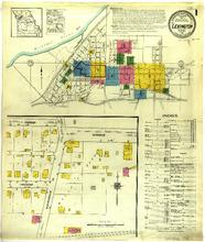
Description: Lexington, Missouri, January 1918. Index; Streets: Oneida, Railroad, Monroe, Independence Road
Member of: Lexington, Missouri maps
Resource Type: cartographic
Lexington, Missouri, 1910 January, sheet 08
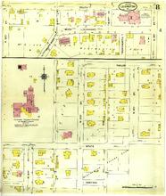
Description: Lexington, Missouri, January 1910. Streets: South, South West Boulevard, Ridgeway, Taylor, State, Central, S. 10th (Tenth) Street, N. 16th (Sixth) Street, N. 17th (Seventh) Street, N. 18th (Eighth) Street, Wentworth, S. 13th Street, S. 11th Street, S. 12th Street
Member of: Lexington, Missouri maps
Resource Type: cartographic
Lexington, Missouri, 1910 January, sheet 02
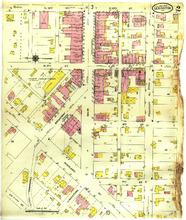
Description: Lexington, Missouri, January 1910. Streets: N. 10th (Tenth) Street, S. 10th (Tenth) Street, N. 9th (Ninth) Street, S. 9th (Ninth) Street, 8th (Eighth) Street, 7th (Seventh) Street, Broadway, Highland, Commerce, Limestone, Main, Franklin Avenue, Ice
Member of: Lexington, Missouri maps
Resource Type: cartographic
Lexington, Missouri, 1910 January, sheet 09
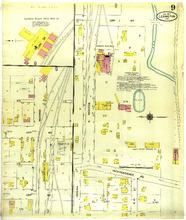
Description: Lexington, Missouri, January 1910. Streets: 23rd (Third) Street, Independence Road, 24th (Fourth) Street, Monroe, Oneida, R. R. Street
Member of: Lexington, Missouri maps
Resource Type: cartographic
Lexington, Missouri, 1900 May, sheet 9
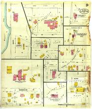
Description: Lexington, Missouri, May 1900. Streets: Washington Avenue, Bloom, Branch Street, 3rd (Third) Street, Water, 18th (Eighth) Street, Elm, 19th (Ninth) Street, Fifth, Sixth, Ice Street, Second Street, Tenth Street, Bluff Street, Pine, Lynn, Mill St.
Member of: Lexington, Missouri maps
Resource Type: cartographic
Lexington, Missouri, 1889 November, sheet 5
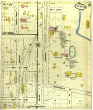
Description: Lexington, Missouri, November 1889. Streets: 16th (Sixth), Oak, 15th (Fifth), Spring, 24th (Fourth), Lewis, 23rd (Third), Clark, Monroe, South, Main, Independence Road, Oneida, R.R. Street
Member of: Lexington, Missouri maps
Resource Type: cartographic
Lexington, Missouri, 1885 August, sheet 4
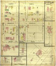
Description: Lexington, Missouri, August 1885. Streets: North, Franklin, South, 13th, Main Cross, 14th (Fourth), Walnut, 18th (Eighth), Elm, 19th (Ninth), Lynn
Member of: Lexington, Missouri maps
Resource Type: cartographic
Lexington, Missouri, 1910 January, sheet 05
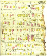
Description: Lexington, Missouri, January 1910. Streets: Main, Franklin Avenue, South, S. 16th (Sixth) Street, N. 16th (Sixth) Street, N. 17th (Seventh) Street, S. 17th (Seventh) Street, N. 18th (Eighth) Street, S. 18th (Eighth) Street, S. 19th (Ninth) Street, N. 19th (Ninth) Street, Amelia Avenue, Bloom
Member of: Lexington, Missouri maps
Resource Type: cartographic
Lexington, Missouri, 1889 November, sheet 2
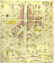
Description: Lexington, Missouri, November 1889. Streets: 10th (Tenth), Pine, Laurel, 8th (Eighth), Coal, 7th (Seventh), Vine, Broadway, 3rd (Third) Street, 2nd (Second) Street, Broadway, Limestone, North, Franklin Avenue, 9th (Ninth), Commerce
Member of: Lexington, Missouri maps
Resource Type: cartographic
Lexington, Missouri, 1889 November, sheet 1
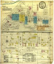
Description: Lexington, Missouri, November 1889. Index; Streets: 22nd (Second) Street, 23rd (Third), Clark, 24th (Fourth), Lewis, South, Main
Member of: Lexington, Missouri maps
Resource Type: cartographic
Pagination
- Previous page
- Page 2
- Next page