31 - 45 of 45 records
Lexington, Missouri, 1918 January, sheet 3
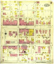
Description: Lexington, Missouri, January 1918. Streets: Main, Franklin Avenue, South, S. 10th (Tenth) Street, N. 10th (Tenth) Street, N. 11th Street, S. 11th Street, S. 12th Street, N. 12th Street, S. 13th Street, N. 13th Street
Member of: Lexington, Missouri maps
Resource Type: cartographic
Lexington, Missouri, 1900 May, sheet 7
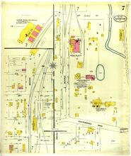
Description: Lexington, Missouri, May 1900. Streets: 23rd (Third) Street, Clark, Independence Road, 24th (Fourth) Street, Lewis, Monroe, Oneida, R. R. St.
Member of: Lexington, Missouri maps
Resource Type: cartographic
Lexington, Missouri, 1918 January, sheet 2
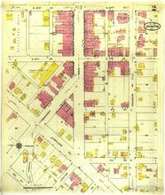
Description: Lexington, Missouri, January 1918. Streets: N. 10th (Tenth) Street, S. 10th (Tenth) Street, N. 9th (Ninth) Street, S. 9th (Ninth) Street, 8th (Eighth) Street, 7th (Seventh) Street, Broadway, Limestone, Highland Avenue, Main, Franklin Avenue, Commerce, 2nd (Second) Street, Ice
Member of: Lexington, Missouri maps
Resource Type: cartographic
Lexington, Missouri, 1885 August, sheet 2
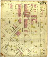
Description: Lexington, Missouri, August 1885. Streets: 10th (Tenth), Pine, 9th (Ninth), Laurel, 8th (Eighth), Coal, 7th (Seventh), Vine, Broadway, Commerce, 3rd (Third) Street, Limestone, Franklin
Member of: Lexington, Missouri maps
Resource Type: cartographic
Lexington, Missouri, 1918 January, sheet 8
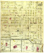
Description: Lexington, Missouri, January 1918. Streets: Washington Av, Main, Franklin Avenue, South, Washington Street, Bloom, Oneida, Branch, Shawnee, S. 19th (Ninth) Street, N. 19th (Ninth) Street, S. 20th Street, N. 20th Street, S. 21st (First) Street, N. 21st (First) Street, S. 22nd (Second) Street, N. 22nd (Second) Street, S. 23rd (Third) Street, N. 23rd (Third) Street, S. 24th (Fourth) Street, N. 24th (Fourth) Street, Monroe, Highland Avenue, N. 10th (Tenth) Street, 5th (Fifth) Street, 6th (Sixth) Street, Water
Member of: Lexington, Missouri maps
Resource Type: cartographic
Lexington, Missouri, 1894 March, sheet 4
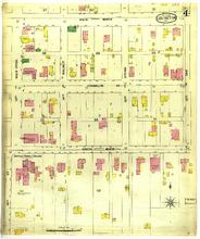
Description: Lexington, Missouri, March 1894. Streets: Main, North, Franklin Avenue, South, Main, 13th, Main Cross, 14th (Fourth), Walnut, 15th (Fifth), Spring, 16th (Sixth), Oak
Member of: Lexington, Missouri maps
Resource Type: cartographic
Lexington, Missouri, 1910 January, sheet 04
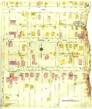
Description: Lexington, Missouri, January 1910. Streets: Main, Franklin Avenue, South, S. 13th Street, N. 13th Street, S. 14th (Fourth) Street, S. 15th (Fifth) Street, N. 15th (Fifth) Street, S. 16th (Sixth) Street, N. 16th (Sixth) Street
Member of: Lexington, Missouri maps
Resource Type: cartographic
Lexington, Missouri, 1894 March, sheet 3
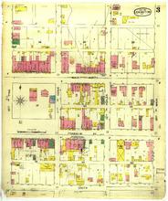
Description: Lexington, Missouri, March 1894. Streets: Main, North, Franklin Avenue, South, 10th (Tenth), Pine, 11th, Cedar, 12th, Poplar, 13th, Main
Member of: Lexington, Missouri maps
Resource Type: cartographic
Lexington, Missouri, 1918 January, sheet 5
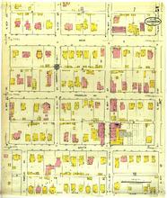
Description: Lexington, Missouri, January 1918. Streets: Main, Franklin Avenue, South, S. 16th (Sixth) Street, S. 17th (Seventh) Street, Amelia Avenue, S. 18th (Eighth) Street, S. 19th (Ninth) Street, N. 16th (Sixth) Street, N. 17th (Seventh) Street, N. 18th (Eighth) Street, N. 19th (Ninth) Street
Member of: Lexington, Missouri maps
Resource Type: cartographic
Lexington, Missouri, 1894 March, sheet 6
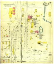
Description: Lexington, Missouri, March 1894. Streets: 23rd (Third), Clark, Independence Road, 24th (Fourth), Lewis, Monroe, Oneida, R. R. St.
Member of: Lexington, Missouri maps
Resource Type: cartographic
Lexington, Missouri, 1900 May, sheet 8
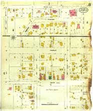
Description: Lexington, Missouri, May 1900. Streets: South, Main, Ridgeway, Franklin, 10th (Tenth) Street, Pine, 11th Street, Cedar, 12th Street, Poplar, 22nd (Second) Street, 23rd (Third) Street, Clark, Lewis, 24th (Fourth) Street, 13th Street, Main Cross
Member of: Lexington, Missouri maps
Resource Type: cartographic
Lexington, Missouri, 1910 January, sheet 01
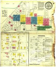
Description: Lexington, Missouri, January 1910. Index; Streets: Clinton, Lafayette, N. 16th (Sixth) Street, N. 17th (Seventh) Street
Member of: Lexington, Missouri maps
Resource Type: cartographic
Lexington, Missouri, 1900 May, sheet 4
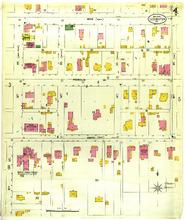
Description: Lexington, Missouri, May 1900. Streets: Main, North, Franklin, South, Main, 13th Street, Main Cross, 14th (Fourth) Street, Walnut, 15th (Fifth) Street, Spring, 16th (Sixth) St,. Oak
Member of: Lexington, Missouri maps
Resource Type: cartographic
Lexington, Missouri, 1900 May, sheet 3
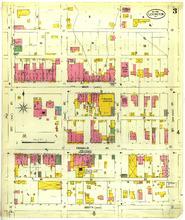
Description: Lexington, Missouri, May 1900. Streets: Main, North, Franklin Avenue, South, Main, 10th (Tenth) Street, Pine, 11th Street, Cedar, 12th Street, Poplar, 13th Street, Main Cross
Member of: Lexington, Missouri maps
Resource Type: cartographic
The Battle of Lexington: fought in and around the city of Lexington, Missouri on September 18th, 19th and 20th, 1861 by forces under command of Colonel James A. Mulligan, U.S.A. and General Sterling Price, M.S.G....
Description: "Recollections of the battle, by Col. B.T. Van Horn": p. [5]-10.,"Recollections of the battle, by Capt. Joseph A. Wilson": p. 10-16.,Book provided by University of Missouri -- Columbia
Resource Type: Text
Pagination
- Previous page
- Page 3