1 - 3 of 3 records
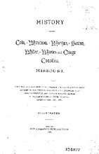
History of Cole, Moniteau, Morgan, Benton, Miller, Maries and Osage counties, Missouri

Description: Local ID: umlr000001.
Member of: Missouriana: History (Collection)
Resource Type: Text
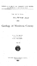
The Geology of Moniteau county

Description: Includes index.,LSO ID: umlr000044.
Member of: Missouriana: Geology (Collection)
Resource Type: Text
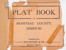
Plat Book of Moniteau County, Missouri

Description: Map of Missouriniteau County, Missouri -- T.43N. part of Burris Fork R.14W -- T.44N. R.14W -- T.45N. part of Walker R.14W -- T.46N. R.14W -- T.47N. part of Linn R.14W -- T.48N. part of Linn R.14 and 15W -- T.43N. R.15W -- T.44N. R.15W -- T.45N. part of Walker R.15W -- T.46N. R.15W -- T.47N. part of Linn R.15W -- T.43N. R.16 and 17W -- T.44N. R.16W -- T.45N. R.16W -- T.44N. R.17W -- T.45N. part of Willow Fork R.17W.
Member of: Plat Books of Missouri (Collection)
Resource Type: cartographic