1 - 14 of 14 records
Richmond, Missouri, 1899 January, sheet 1
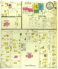
Description: Richmond, Missouri, January 1899. Index; Streets: Lexington, N. College Street, S. Camden Avenue, S. College Avenue, S. Thornton Avenue
Member of: Richmond, Missouri maps
Resource Type: cartographic
Richmond, Missouri, 1888 September, sheet 1
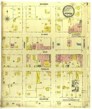
Description: Richmond, Missouri, September 1888. Streets: Buchanan, N. Main, Main, Franklin, Lexington, Camden, College, Thornton
Member of: Richmond, Missouri maps
Resource Type: cartographic
Richmond, Missouri, 1899 January, sheet 3
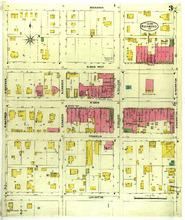
Description: Richmond, Missouri, January 1899. Streets: Buchanan, N. Main West, W. Main, Franklin, Lexington, S. Whitmer, N. Whitmer, N. Camden, S. Camden, N. College, S. College, N. Thornton Avenue, S. Thornton Avenue
Member of: Richmond, Missouri maps
Resource Type: cartographic
Richmond, Missouri, 1883 November
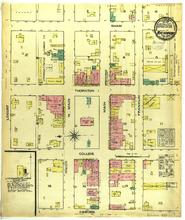
Description: Richmond, Missouri, November 1883. Streets: Shaw, Thornton, College, Camden, Locust, N. Main, Main, Franklin
Member of: Richmond, Missouri maps
Resource Type: cartographic
Richmond, Missouri, 1909 June, sheet 4
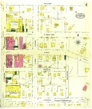
Description: Richmond, Missouri, June 1909. Streets: Buchanan, N. Main East, E. Main, Franklin, Lexington, N. Thorton Avenue, S. Thornton Avenue, S. Shaw, N. Shaw, Wellington
Member of: Richmond, Missouri maps
Resource Type: cartographic
Richmond, Missouri, 1888 September, sheet 2
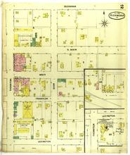
Description: Richmond, Missouri, September 1888. Streets: Buchanan, N. Main, Main, Franklin, Lexington, Thornton, Shaw
Member of: Richmond, Missouri maps
Resource Type: cartographic
Richmond, Missouri, 1893 September, sheet 3
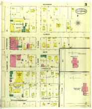
Description: Richmond, Missouri, September 1893. Streets: Buchanan, N. Main, Main, Franklin, Lexington, S. Thornton Avenue, N. Thornton Avenue, N. Shaw, S. Shaw, Woodson Institute, Richmond College Public School
Member of: Richmond, Missouri maps
Resource Type: cartographic
Richmond, Missouri, 1909 June, sheet 2
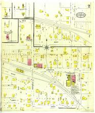
Description: Richmond, Missouri, June 1909. Streets: Main, Lexington, Jabez, Henry, Depot, East, Shotwell, S. Whitmer, Elm, Hill
Member of: Richmond, Missouri maps
Resource Type: cartographic
Richmond, Missouri, 1909 June, sheet 3
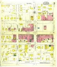
Description: Richmond, Missouri, June 1909. Streets: Buchanan, N. Main West, W. Main, Franklin, Lexington, N. Camden Avenue, S. Camden Avenue, N. College, S. College, N. Thornton Avenue, S. Thornton Avenue
Member of: Richmond, Missouri maps
Resource Type: cartographic
Richmond, Missouri, 1899 January, sheet 2
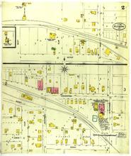
Description: Richmond, Missouri, January 1899. Streets: Depot, Lexington, Henry, Jabez, East, Shotwell, S. Whitemer, Elm, Hill, West
Member of: Richmond, Missouri maps
Resource Type: cartographic
Richmond, Missouri, 1893 September, sheet 1
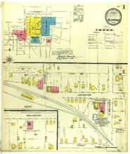
Description: Richmond, Missouri, September 1893. Index; Streets: Depot, Lexington, Henry, Wellington, Shotwell, S. Whitmer
Member of: Richmond, Missouri maps
Resource Type: cartographic
Richmond, Missouri, 1893 September, sheet 2
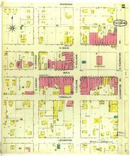
Description: Richmond, Missouri, September 1893. Streets: Buchanan, N. Main, Main, Franklin, Lexington, S. Camden, N. Camden, N. College, S. College, N. Thornton Avenue, S. Thornton Avenue
Member of: Richmond, Missouri maps
Resource Type: cartographic
Richmond, Missouri, 1899 January, sheet 4
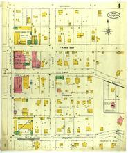
Description: Richmond, Missouri, January 1899. Streets: Buchanan, N. Main East, E. Main, Franklin, Lexington, S. Thornton Avenue, N. Thornton Avenue, N. Shaw, S. Shaw
Member of: Richmond, Missouri maps
Resource Type: cartographic
Richmond, Missouri, 1909 June, sheet 1
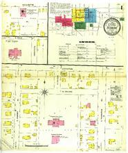
Description: Richmond, Missouri, June 1909. Index; Streets: Wellington, E. Main, Lexington, N. College, S. Camden Avenue, S. Thornton Avenue, Institute, S. College
Member of: Richmond, Missouri maps
Resource Type: cartographic