1 - 15 of 20 records
Rolla, Missouri, 1884 April
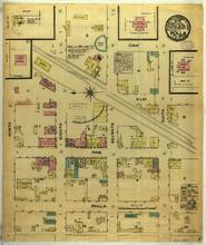
Description: Rolla, Missouri, April 1884. Streets: Oak, Elm, Pine, Rolla, Ninth, Eighth, Seventh, Sixth, Rolla Milling Co.
Member of: Rolla, Missouri maps
Resource Type: cartographic
Rolla, Missouri, 1893 June, sheet 2
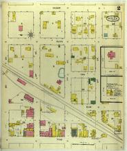
Description: Rolla, Missouri, June 1893. Streets: Cedar, Olive, Oak, Elm, Pine, 9th (Ninth) Street, 8th (Eighth) Street, 7th (Seventh) Street, 6th (Sixth) Street
Member of: Rolla, Missouri maps
Resource Type: cartographic
Rolla, Missouri, 1910 November, sheet 4
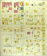
Description: Rolla, Missouri, November 1910. Streets: Pine, Rolla, Main, Park, Center, State, Beech, 8th (Eighth) Street, 7th (Seventh) Street, 6th (Sixth) Street, 5th (Fifth) Street, 4th (Fourth) Street, Springfield Road
Member of: Rolla, Missouri maps
Resource Type: cartographic
Rolla, Missouri, 1910 November, sheet 5
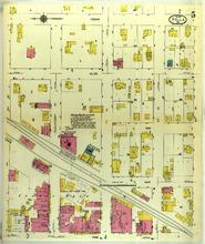
Description: Rolla, Missouri, November 1910. Streets: Cedar, Olive, Oak, Elm, Pine, 9th (Ninth) Street, 8th (Eighth) Street, 7th (Seventh) Street, 6th (Sixth) Street, 5th (Fifth) Street
Member of: Rolla, Missouri maps
Resource Type: cartographic
Rolla, Missouri, 1910 November, sheet 3
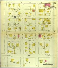
Description: Rolla, Missouri, November 1910. Streets: Pine, Rolla, Main, Park, State, 11th Street, 10th (Tenth) Street, 9th (Ninth) Street, 8th (Eighth) Street
Member of: Rolla, Missouri maps
Resource Type: cartographic
Rolla, Missouri, 1917 June, sheet 2
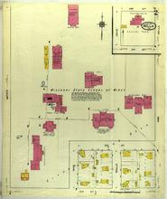
Description: Rolla, Missouri, June 1917. Streets: 3rd (Third) Street, 2nd (Second) Street, Main, Rolla, 12th Street, 11th Street, Main, Missouri, State School of Mines
Member of: Rolla, Missouri maps
Resource Type: cartographic
Rolla, Missouri, 1905 September, sheet 3
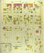
Description: Rolla, Missouri, September 1905. Streets: Pine, Rolla, Main, Park, State, 9th (Ninth) Street, 8th (Eighth) Street, 7th (Seventh) Street, 6th (Sixth) Street, 5th (Fifth) Street, Center
Member of: Rolla, Missouri maps
Resource Type: cartographic
Rolla, Missouri, 1905 September, sheet 2
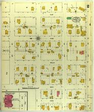
Description: Rolla, Missouri, September 1905. Streets: Elm, Pine, Rolla, Main, Park, 12th Street, 11th Street, 10th (Tenth) Street, 9th (Ninth) Street, Missouri, School of Mines Engineering Building
Member of: Rolla, Missouri maps
Resource Type: cartographic
Rolla, Missouri, 1893 June, sheet 1
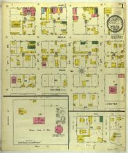
Description: Rolla, Missouri, June 1893. Streets: Pine, Rolla, Main, College, Center, 9th (Ninth) Street, 8th (Eighth) Street, 7th (Seventh) Street, 6th (Sixth) Street, Missouri, School of Mines
Member of: Rolla, Missouri maps
Resource Type: cartographic
Rolla, Missouri, 1897 August, sheet 2
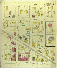
Description: Rolla, Missouri, August 1897. Streets: Cedar, Olive, Oak, Elm, Pine, Ninth, Eighth, Seventh, Sixth, Fifth
Member of: Rolla, Missouri maps
Resource Type: cartographic
Rolla, Missouri, 1917 June, sheet 1
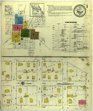
Description: Rolla, Missouri, June 1917. Index; Streets: Oak, Elm, Pine, 12th Street, 11th Street, 10th (Tenth) Street, 9th (Ninth) Street
Member of: Rolla, Missouri maps
Resource Type: cartographic
Rolla, Missouri, 1910 November, sheet 2
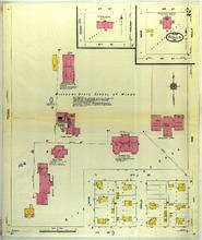
Description: Rolla, Missouri, November 1910. Streets: 6th (Sixth) Street, 5th (Fifth) Street, 3rd (Third) Street, 2nd (Second) Street, Cedar, Walnut, Pine, Main, Rolla, 12th Street, 11th Street, Missouri, State School of Mines
Member of: Rolla, Missouri maps
Resource Type: cartographic
Rolla, Missouri, 1917 June, sheet 5
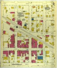
Description: Rolla, Missouri, June 1917. Streets: Olive, Elm, Pine, Rolla, 9th (Ninth) Street, 8th (Eighth) Street, 7th (Seventh) Street, 6th (Sixth) Street, 5th (Fifth) Street, Oak
Member of: Rolla, Missouri maps
Resource Type: cartographic
Rolla, Missouri, 1917 June, sheet 4
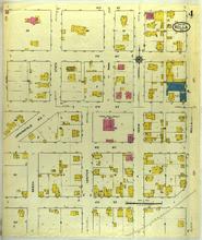
Description: Rolla, Missouri, June 1917. Streets: 8th (Eighth) Street, 7th (Seventh) Street, 6th (Sixth) Street, 5th (Fifth) Street, 4th (Fourth) Street, Beech, Center, Main, Rolla, Springfield Road, State, Park
Member of: Rolla, Missouri maps
Resource Type: cartographic
Rolla, Missouri, 1910 November, sheet 1
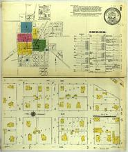
Description: Rolla, Missouri, November 1910. Index; Streets: Oak, Elm, Pine, 12th Street, 11th Street, 10th (Tenth) Street, 9th (Ninth) Street
Member of: Rolla, Missouri maps
Resource Type: cartographic
Pagination
- Page 1
- Next page