1 - 2 of 2 records
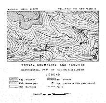
The Geology of the Weaubleau Creek area, Missouri,Weaubleau Creak area, Missouri

Description: Bibliography: pages 103-105.,LSO ID: umlr000052.
Member of: Missouriana: Geology (Collection)
Resource Type: Text
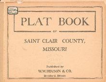
Plat Book of St. Clair County, Missouri

Description: Map of St. Clair County, Missouri -- T.36N. Collins R.24 and 25W -- T.37N. Dallas R.24W -- T.38 and 39N. R.24W -- T.39 and 40N. Jackson R.24 and 25W -- T.36N. Washington R.25 and 26W -- T.36N. part of Roscoe R.26W -- T.37N. Doyal R.25W -- T.38 and 39N. Osceola R.25 and 26W -- T.39N. part of Butler R.25W -- T.37 and 38N. part of Roscoe R.26W -- T.37 and 38N. Center R.26W -- T.39N. R.26W -- T.36N. R.27W -- T.37 and 38N. R.27W -- T.37 and 38N. Osage R.27W -- T.39N. Missourinegaw R.27W. -- T.36N. part of Speedwell R.28W -- T.37 and 38N. part of Speedwell R.28W -- T.37 and 38N. Taber R.28W -- T.39N. Appleton R.28W.
Member of: Plat Books of Missouri (Collection)
Resource Type: cartographic