1 - 2 of 2 records
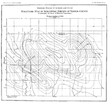
The Geology of Vernon county

Description: Includes maps and one folded diagram.,Includes bibliographical references.,LSO ID: umlr000051.
Member of: Missouriana: Geology (Collection)
Resource Type: Text
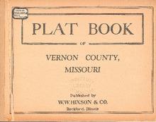
Plat Book of Vernon County, Missouri

Description: Map of Vernon County, Missouri -- T.34N. Missourintevallo R.29W -- T.35N. Virgil R.29W -- T.36N. Clear Creek R.29W -- T.37 and 38N. Bacon R.29W -- T.34N. Dover R.30W -- T.35N. Badger R.30W -- T.36N. Walker R.30W -- T.37 and 38N. Blue Missouriund R.30W -- T.34N. Drywood R.31W -- T.35N. Center R.31W -- T.36N. Washington R.31W -- T.37 and 38N. Osage R.31W -- T.34N. Missouriundville R.32W -- T.35N. Deerfield R.32W -- T.36N. Lake R.32W -- T.37 and 38N. Metz R.32W -- T.34N. Harrison R.33W -- T.35N. Coal R.33W -- T.36N. Richland R.33W -- T.37 and 48N. Henry R.33W.
Member of: Plat Books of Missouri (Collection)
Resource Type: cartographic