1 - 15 of 19 records
Insulae Americanae in Oceano Septentrionali ac Regiones Adiacentes
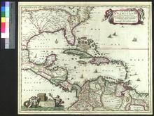
Description: This is the second state of the map, published from ca. 1682 until ca. 1708, at which point grid lines were added to the map. The first state of the map lacked the privilege indicated in the upper righthand corner. The map was included in later editions of Visscher's Atlas Minor (first published in 1683).,On verso: Handwriting: Annotation by bookseller
Member of: Venable Maps
Resource Type: cartographic
America Settentrionale
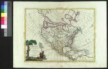
Description: Appeared in Zatta's Atlante novissimo (1775-1785),On verso: Handwritten note
Member of: Venable Maps
Resource Type: cartographic
Map of North America
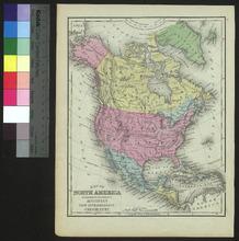
Description: Appeared in Mitchell's New Intermediate Geography (published in various editions between 1869 and 1901). Different editions were produced for different states.,On verso: Text: Questions on the map of the eastern hemisphere
Member of: Venable Maps
Resource Type: cartographic
Carte Physique et Politique De L'Amérique Septentrionale
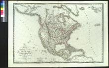
Description: On verso: Handwritten note
Member of: Venable Maps
Resource Type: cartographic
Amérique Septentrionale
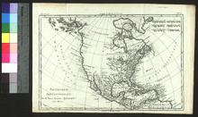
Description: Appeared in Raynal's Atlas de Toutes les Parties Connues du Globe Terrestre (ca. 1780).,On verso: Handwritten note
Member of: Venable Maps
Resource Type: cartographic
Amérique Septentrionale
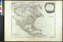
Description: On verso: Handwritten note
Member of: Venable Maps
Resource Type: cartographic
L'Amérique Septentrionale
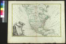
Description: Appeared in Jean Lattré's Atlas Moderne (1762),On verso: Handwritten note and sketch
Member of: Venable Maps
Resource Type: cartographic
Totius Americae Septentrionalis et Meridionalis Novissima Representatio
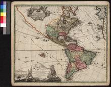
Member of: Venable Maps
Resource Type: cartographic
Americæ : nova tabula
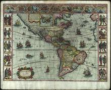
Description: Scan specification: Indus Color Book Scanner 5005 ; 600 dpi ; color ; TIFF ; lzw compressionnScan date: February 2019.nOriginal held in University Libraries Special Collections.
Member of: Venable Maps
Resource Type: cartographic
Totius Americae Septentrionalis et Meridionalis Novissima Representatio
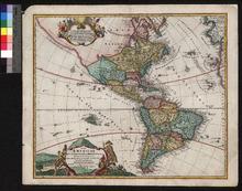
Member of: Venable Maps
Resource Type: cartographic
Fifth map, or, Map of 1733
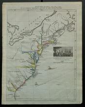
Description: Appeared in a supplementary volume to Willard's History of the United States, or, Republic of America. Designed for schools and private libraries.,On verso: Handwritten date and place
Member of: Venable Maps
Resource Type: cartographic
Carte Génerale des États-Unis de L'Amérique Septentrionale
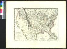
Member of: Venable Maps
Resource Type: cartographic
Novissima et Accuratissima Totius Americae Descriptio
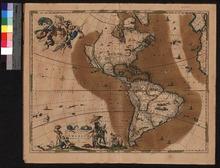
Member of: Venable Maps
Resource Type: cartographic
Pagination
- Page 1
- Next page
