1 - 6 of 6 records
États-Unis de l'Amérique septentrionale avec les Isles Royale, de Terre Neuve, de St Jean, l'Acadie
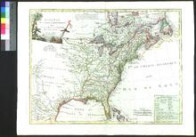
Description: Includes the proposed states of the Jeffersonian Ordinance of 1784 (and is the first map to do so).,On verso: Handwritten note
Member of: Venable Maps
Resource Type: cartographic
A New Map of the British Empire in Nth America
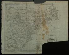
Description: Torn (cartouche removed, likely by a collector); Appeared in Millar's New and Universal System of Geography (1782-1785).,On verso: Blank
Member of: Venable Maps
Resource Type: cartographic
Fifth map, or, Map of 1733
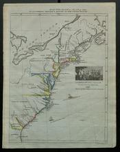
Description: Appeared in a supplementary volume to Willard's History of the United States, or, Republic of America. Designed for schools and private libraries.,On verso: Handwritten date and place
Member of: Venable Maps
Resource Type: cartographic
The United States of America confirmed by treaty, 1783
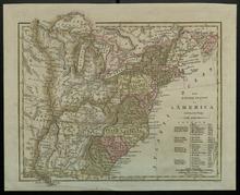
Description: On verso: Handwritten date and place
Member of: Venable Maps
Resource Type: cartographic
Map of the United States of America Showing the Boundaries of the Union and Confederate Geographical Divisions and Departments, June 30, 1863
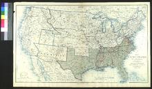
Description: Appeared in The Atlas to Accompany the Official Records of the Union and Confederate Armies (1891-1895) as plate no. 167.,On verso: Blank
Member of: Venable Maps
Resource Type: cartographic
Map of the United States of America Showing the Boundaries of the Union and Confederate Geographical Divisions and Departments, June 30, 1861
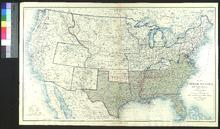
Description: Appeared in The Atlas to Accompany the Official Records of the Union and Confederate Armies (1891-1895) as plate no. 163.,On verso: Blank
Member of: Venable Maps
Resource Type: cartographic