1 - 21 of 21 records
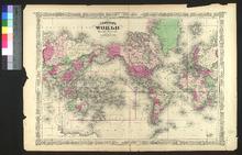
Map of the World on a Globular Projection
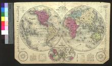
Description: Appeared in Olney's School Geography: A practical system of modern geography comprising a view of the present state of the world (first published in 1829). Engraved by Sherman & Smith of New York, which included John Calvin Smith (1809-1890), George E. Sherman (born in 1810 or 1811), and Samuel Stiles (1796-1861). They were specialists in cartographic engraving and mainly did work for government publications.,On verso: Blank
Member of: Venable Maps
Resource Type: cartographic
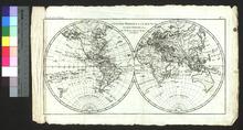
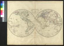
The World in Hemispheres
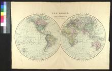
Description: Appeared in Bradley's atlas of the world for commercial and library reference (first appeared in 1885).,On verso: Blank
Member of: Venable Maps
Resource Type: cartographic
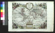
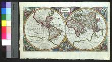
Die erst general Tafel die Beschreibung und den Circkel des gantzen Erdtrichs und Meers innhaltende
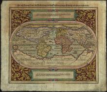
Description: Scan specification: Indus Color Book Scanner 5005 ; 600 dpi ; color ; TIFF ; lzw compressionnScan date: February 2019.nOriginal held in University Libraries Special Collections.
Member of: Venable Maps
Resource Type: cartographic
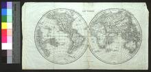
A New and Accurate Map of the World
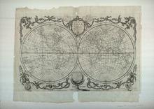
Description: Appeared in Millar's New and Universal System of Geography (1782-1785). A similar map was drawn and published by Kitchin's teacher, Emanuel Bowen (1694?-1767), in 1748.,On verso: Blank
Member of: Venable Maps
Resource Type: cartographic
A new and accurat map of the world drawne according to ye truest descriptions lastest discoveries & best observations yt have beene made by English or strangers, 1651
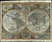
Description: Scan specification: Indus Color Book Scanner 5005 ; 600 dpi ; color ; TIFF ; lzw compressionnScan date: February 2019.nOriginal held in University Libraries Special Collections.
Member of: Venable Maps
Resource Type: cartographic
A New & Complete Mercator Chart of the World
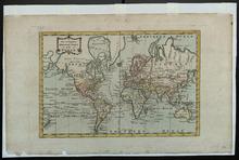
Description: [filed with mounted items] / DL has 1794; A variant state of this engraving with a changed border appeared in Millar's New and Universal System of Geography (1782-1785),On verso: Handwritten notes about provenance
Member of: Venable Maps
Resource Type: cartographic
Planiglobii Terrestris Cum Utroq Hemisphaerio Caelesti Generalis Exhibitio
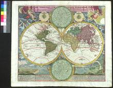
Member of: Venable Maps
Resource Type: cartographic
Diversi Globi Terr-Aquei Statione variante et Visu intercedente, per Coluros Tropicorum, per ambos polos et particul.Sphæræ Zenith in Planum Delineati Orthographici Prospectus
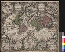
Description: On verso: Handwritten note
Member of: Venable Maps
Resource Type: cartographic
Typus Orbis Terrarum
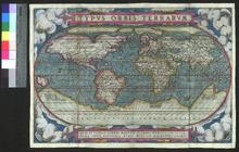
Description: Appeared in the Theatrum orbis terrarum (first appeared in 1570),On verso: Blank
Member of: Venable Maps
Resource Type: cartographic
Nova Totius Terrarum Orbis Geographica Ac Hydrographica Tabula
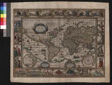
Description: A scaled down version of a wall map also printed by Blaeu.,On verso: Text: "Die ganze Welt"
Member of: Venable Maps
Resource Type: cartographic
Nova Orbis Tabula

Description: De Wit received his privilege in 1689 and the reference letters in the borders of the themispheres were added in 1690. The dotted borders in North America were added after 1697.,On verso: Blank
Member of: Venable Maps
Resource Type: cartographic
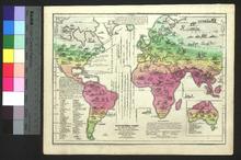
Carte de la direction des vents généraux et des moussons
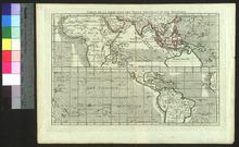
Description: Date and creator based on bookseller note,On verso: Handwritten note (date, subject, artist)
Member of: Venable Maps
Resource Type: cartographic
Typus Orbis Terrarum, ad imitationem universalis Gerhardi Mercatoris
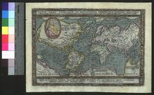
Description: Appeared in Europae totius orbis terrarum,On verso: Faded handwriting
Member of: Venable Maps
Resource Type: cartographic
Orbis Terrarum Tabula
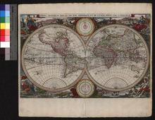
Description: Appeared in Visscher's Bible,On verso: Text: "Kort en klaer vertoogh der Landtschappen des Werelts"
Member of: Venable Maps
Resource Type: cartographic
