MU Logo
Digital Library University of Missouri
Search
Submit
Main navigation
About
Collections
Home
Displaying 1 - 6 of 6
Search
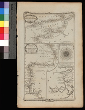
A New Chart of the English Channel, drawn from the Best Authorities. / A New Chart of the Coasts of France and Spain from L'Orient to Gibraltar, Drawn from the Best Authorities
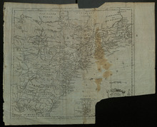
A New Map of the British Empire in Nth America
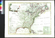
États-Unis de l'Amérique septentrionale avec les Isles Royale, de Terre Neuve, de St Jean, l'Acadie
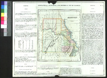
Geographical, Statistical, and Historical Map of Missouri
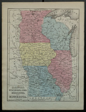
Illinois, Wisconsin, Iowa, Missouri, and Minnesota
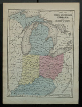
Map of Ohio, Michigan, Indiana, and Kentucky