MU Logo
Digital Library University of Missouri
Search
Submit
Main navigation
About
Collections
Home
Displaying 1 - 15 of 17
Search
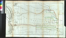
[1836 Map of Indian Territories]
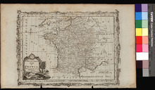
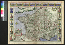
A New and Correct Map of France
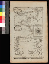
A New Chart of the English Channel, drawn from the Best Authorities. / A New Chart of the Coasts of France and Spain from L'Orient to Gibraltar, Drawn from the Best Authorities
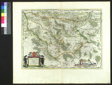
Europ, and the cheife Cities contayned therin described
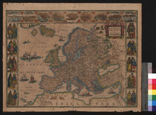
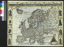
Europa recens descripta
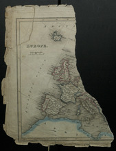
Europe [left half of sheet only]
Europe Agreeable to the Most Approved Maps and Charts
France revised and augmented
Les environs L'Estang de Longpendu
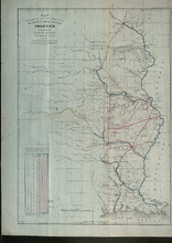
Map Illustrating the Plan of the Defences of the Western and North Western Frontier
Map Illustrating the Plan of the Defences of the Western and North Western Frontier
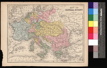
Map of Central Europe
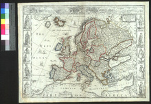
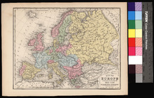
Map of Europe
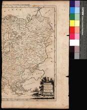
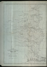
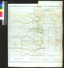
Map Showing the Lands Assigned to Emigrant Indians west of Arkansas and Missouri
Nova Europae Descriptio
Pagination
1
2
Next ›
Next page
Last »
Last page