MU Logo
Digital Library University of Missouri
Search
Submit
Main navigation
About
Collections
Home
Displaying 1 - 6 of 6
Search
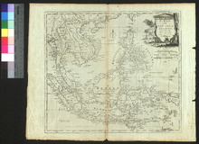
A Map of the East India Islands
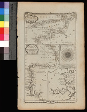
A New Chart of the English Channel, drawn from the Best Authorities. / A New Chart of the Coasts of France and Spain from L'Orient to Gibraltar, Drawn from the Best Authorities
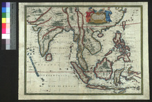
A New Map of East India
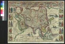
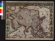
Asia noviter delineata
Asia with the Islands adioyning described, the atire of the people, and Townes of importance
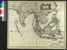
Tabula Indiae Orientalis