MU Logo
Digital Library University of Missouri
Search
Submit
Main navigation
About
Collections
Home
Displaying 1 - 12 of 12
Search
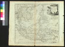
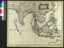
A Map of the East India Islands
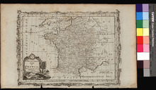
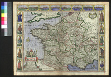
A New and Correct Map of France
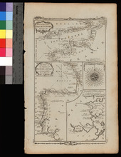
A New Chart of the English Channel, drawn from the Best Authorities. / A New Chart of the Coasts of France and Spain from L'Orient to Gibraltar, Drawn from the Best Authorities
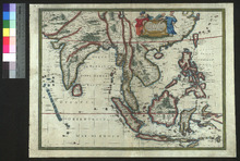
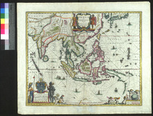
A New Map of East India
France revised and augmented
India quae Orientalis dicitur, et Insulae adiacentes
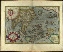
Indiae Orientalis, insularumque adiacientium typus
Les environs L'Estang de Longpendu
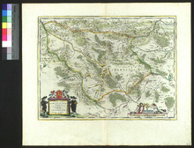
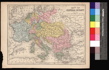
Map of Central Europe
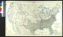
Map of the United States of America Showing the Boundaries of the Union and Confederate Geographical Divisions and Departments, June 30, 1863
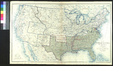
Map of the United States of America Showing the Boundaries of the Union and Confederate Geographical Divisions and Departments, June 30, 1861
Tabula Indiae Orientalis