MU Logo
Digital Library University of Missouri
Search
Submit
Main navigation
About
Collections
Home
Displaying 1 - 6 of 6
Search
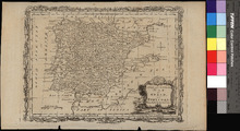
A New and Accurate Map of Spain and Portugal
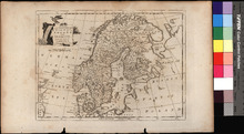
A New and Correct Map of Norway, Sweden and Denmark
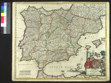
Accuratissima Totius Regni Hispaniae Tabula
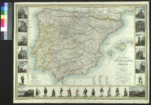
Carte Itineraire, Physique, Politique, et Routiere de L'Espagne et du Portugal
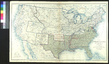
Map of the United States of America Showing the Boundaries of the Union and Confederate Geographical Divisions and Departments, June 30, 1863
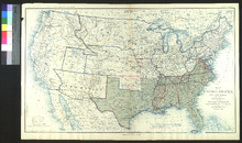
Map of the United States of America Showing the Boundaries of the Union and Confederate Geographical Divisions and Departments, June 30, 1861