MU Logo
Digital Library University of Missouri
Search
Submit
Main navigation
About
Collections
Home
Displaying 1 - 15 of 21
Search
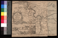
A Map of the Countries Adjacent to Carlisle
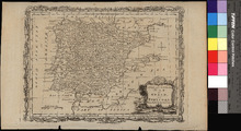
A New and Accurate Map of Spain and Portugal
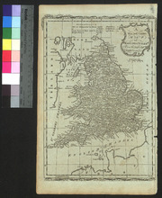
A New and Correct Map of England and Wales
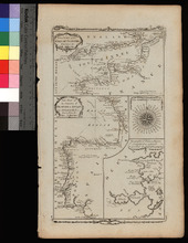
A New Chart of the English Channel, drawn from the Best Authorities. / A New Chart of the Coasts of France and Spain from L'Orient to Gibraltar, Drawn from the Best Authorities
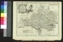
A New Map of Dorset Shire
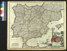
Accuratissima Totius Regni Hispaniae Tabula
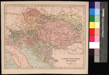
Austro-Hungarian Monarchy.
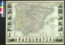
Carte Itineraire, Physique, Politique, et Routiere de L'Espagne et du Portugal
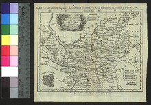
Cheshire
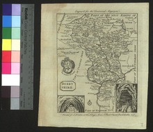
Derbyshire
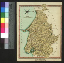
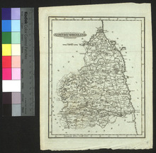
Dorsetshire
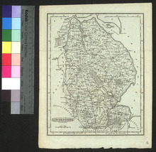
Lincolnshire
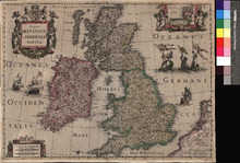
Magnae Britanniae et Hiberniae Tabula
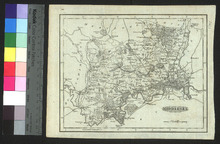
Middlesex
Northumberland
Pagination
1
2
Next ›
Next page
Last »
Last page