MU Logo
Digital Library University of Missouri
Search
Submit
Main navigation
About
Collections
Home
Displaying 1 - 9 of 9
Search
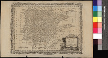
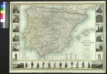
A New and Accurate Map of Spain and Portugal
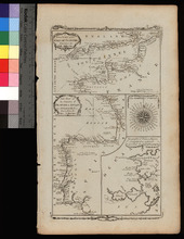
A New Chart of the English Channel, drawn from the Best Authorities. / A New Chart of the Coasts of France and Spain from L'Orient to Gibraltar, Drawn from the Best Authorities
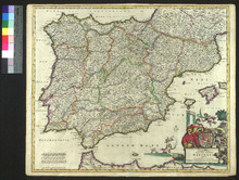
Accuratissima Totius Regni Hispaniae Tabula
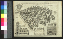
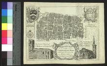
Aldgate Ward with Its Divisions into Precincts and Parishes
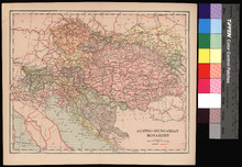
Austro-Hungarian Monarchy.
Breadstreet Ward and Cordwainer's Ward with Their Divisions into Parishes
Carte Itineraire, Physique, Politique, et Routiere de L'Espagne et du Portugal
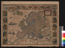
Europ, and the cheife Cities contayned therin described
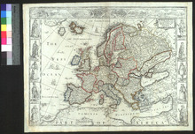
Europa recens descripta