MU Logo
Digital Library University of Missouri
Search
Submit
Main navigation
About
Collections
Home
Displaying 1 - 15 of 44
Search
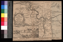
A Map of the Countries Adjacent to Carlisle
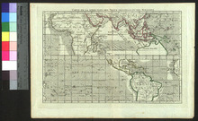
A New & Complete Mercator Chart of the World
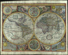
A new and accurat map of the world drawne according to ye truest descriptions lastest discoveries & best observations yt have beene made by English or strangers, 1651
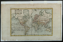
A New and Accurate Map of the World
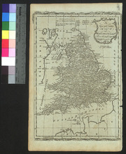
A New and Correct Map of England and Wales
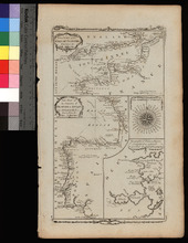
A New Chart of the English Channel, drawn from the Best Authorities. / A New Chart of the Coasts of France and Spain from L'Orient to Gibraltar, Drawn from the Best Authorities
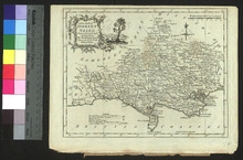
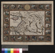
A New Map of Dorset Shire
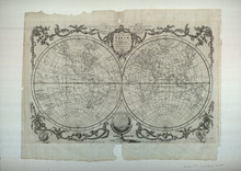
Carte de la direction des vents généraux et des moussons
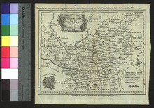
Cheshire
De Reys-togten van Abraham
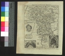
Derbyshire
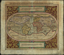
Die erst general Tafel die Beschreibung und den Circkel des gantzen Erdtrichs und Meers innhaltende
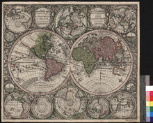
Diversi Globi Terr-Aquei Statione variante et Visu intercedente, per Coluros Tropicorum, per ambos polos et particul.Sphæræ Zenith in Planum Delineati Orthographici Prospectus
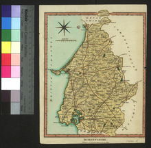
Dorsetshire
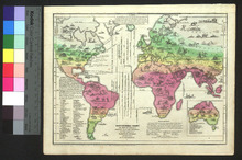
Isothermal Chart or View of Climates
Pagination
1
2
3
Next ›
Next page
Last »
Last page