61 - 87 of 87 records
The Case of the election of the shire of Linlithgow
Description:
Issued between 1700-1799?,Initial.
Member of:
Broadsides (Collection)
Resource Type:
Text
The Humble address of the House of Commons to the King
Description:
About the Treaty of Partition.About the Treaty of Partition.,At head of title "(113)" and "Numb. 53". Lower part of the p. has "(Price 1d.)", leaf signed "Hhh".,Caption title.
Member of:
Broadsides (Collection)
Resource Type:
Text
Votes of the House of Commons, Jovis 4 die Martii, 1707
Description:
Parliament's thanks to the Queen for informing them of the invasion of the Kingdom by the Prince of Wales.Parliament's thanks to the Queen for informing them of the invasion of the Kingdom by the Prince of Wales.,At head of title: "Numb. 88".,Caption title.,Imprint from colophon.
Member of:
Broadsides (Collection)
Resource Type:
Text
The Case of Sir John Rudd, Bart
Description:
Issued: 1733?,Refers to a bill introduced by Rudd in Parliament to dissolve his marriage to Lettice Vaughan whom he divorced for "Mensa & thoro causa adulterii."
Member of:
Broadsides (Collection)
Resource Type:
Text
The Humble address of the House of Commons to the King
Description:
Caption title.,Related to the impeachment of the Earl of Oxford for his treasonous activities with the King of France.,At head of title: "(205) and "Numb. 97". Leaf signed "Fffff".,Imprint from colophon.,"(Price 2d.)"
Member of:
Broadsides (Collection)
Resource Type:
Text
The Humble address of the House of Commons to the King
Description:
At head of title: "(9)" and "Numb. 3". Bottom of p. "(Price 1d.)", leaf signed "D".,Caption title.,Offering the support of the Parliament to the King, against the interests of the Pretender to the crown.
Member of:
Broadsides (Collection)
Resource Type:
Text
An Extract of the journal of the House of Commons in the year 1660 the time of the happy restoration of K. Ch. II: shewing the sense of that House touching resistance
Description:
Caption title.,Imprint from colophon.
Member of:
Broadsides (Collection)
Resource Type:
Text
A New and Correct Map of Scotland
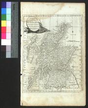
Description:
Appeared in Millar's New and Universal System of Geography (1782-1785),On verso: Blank
Member of:
Venable Maps
Resource Type:
cartographic
A New and Correct Map of England and Wales
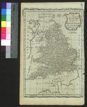
Description:
Appeared in Millar's New and Universal System of Geography (1782-1785),On verso: Blank
Member of:
Venable Maps
Resource Type:
cartographic
Lincolnshire
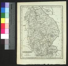
Description:
Appeared in The Universal Magazine of Knowledge and Pleasure and later in Lauire & Whittle's New and Improved English Atlas (1807).,On verso: Handwriting: Annotation by bookseller
Member of:
Venable Maps
Resource Type:
cartographic
Northumberland
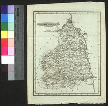
Description:
Appeared in The Universal Magazine of Knowledge and Pleasure and later in Lauire & Whittle's New and Improved English Atlas (1807).,On verso: Handwritten note
Member of:
Venable Maps
Resource Type:
cartographic
Middlesex
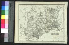
Description:
Appeared in The Universal Magazine of Knowledge and Pleasure and later in Lauire & Whittle's New and Improved English Atlas (1807).,On verso: Blank
Member of:
Venable Maps
Resource Type:
cartographic
A New and Correct Map of Ireland
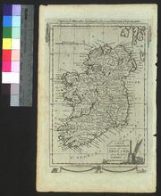
Description:
Appeared in Millar's New and Universal System of Geography (1782-1785); another version of the same plate appeared in John Hamilton Moore's New and Complete Collection of Voyages and Travels (ca. 1790) and Edward Barnard's New Complete & Authentic History of England (1783).,On verso: Blank
Member of:
Venable Maps
Resource Type:
cartographic
Nottinghamshire
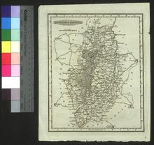
Description:
Appeared in The Universal Magazine of Knowledge and Pleasure and later in Lauire & Whittle's New and Improved English Atlas (1807).,On verso: Handwritten note
Member of:
Venable Maps
Resource Type:
cartographic
A New Chart of the English Channel, drawn from the Best Authorities. / A New Chart of the Coasts of France and Spain from L'Orient to Gibraltar, Drawn from the Best Authorities
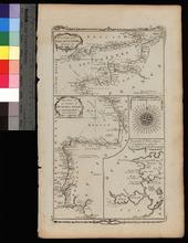
Description:
Member of:
Venable Maps
Resource Type:
cartographic
A Map of the Countries Adjacent to Carlisle
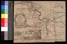
Description:
Member of:
Venable Maps
Resource Type:
cartographic
A Plan of the Grand Canal Now Making between Leeds and Liverpool

Description:
Member of:
Venable Maps
Resource Type:
cartographic
Magnae Britanniae et Hiberniae Tabula
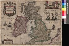
Description:
A version of this map was originally engraved by Jodocus Hondius and later printed by Willem Blaeu. This map appeared in the 1631 Atlantis Maioris Appendix, an addition to Henricus' Hondius' Atlas Novus.,On verso: Text: Von den Brittanischen Inseln
Member of:
Venable Maps
Resource Type:
cartographic
Dorsetshire
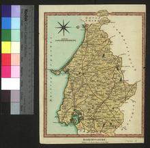
Description:
Appeared in Wilkes' Encyclopaedia Londinensis; or, universal dictionary of arts, sciences, and literature, vol. 6 (1801-1828).,On verso: Blank
Member of:
Venable Maps
Resource Type:
cartographic
A New Map of Dorset Shire
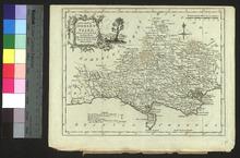
Description:
First published in 1763 (in England illustrated) but subsequently republished unaltered in Kitchin's English Atlas (1764). Illicit copies by engraver Joseph Ellis (died in 1793) appeared in The New English Atlas (first published in 1765).,On verso: Bookseller's annotation ("Dorsetshire")
Member of:
Venable Maps
Resource Type:
cartographic
Derbyshire
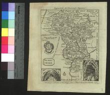
Description:
Appeared in the Universal Magazine,On verso: Blank
Member of:
Venable Maps
Resource Type:
cartographic
Surrey
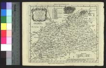
Description:
Appeared in the Universal Magazine,On verso: Blank
Member of:
Venable Maps
Resource Type:
cartographic
The West Riding of York Shire
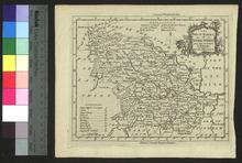
Description:
Appeared in the Universal Magazine,On verso: Blank
Member of:
Venable Maps
Resource Type:
cartographic
Wilt Shire
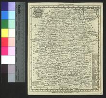
Description:
Appeared in the Universal Magazine,On verso: Blank
Member of:
Venable Maps
Resource Type:
cartographic
The Kingdome of England
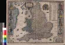
Description:
A version of this map engraved by Jocodus Hondius appeared in John Speed's Theatre of the Empire of Great Britaine (1611) but was re-engraved later by Goos.,On verso: Text: The Type of the Flourishing kingdom of England, with the General Description of it, as it was from the time of the Normans
Member of:
Venable Maps
Resource Type:
cartographic
The West Ridinge of Yorkeshyre with the Most Famous and Fayre Citie Yorke Described
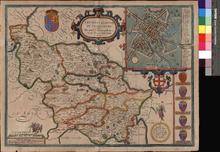
Description:
Appeared in Speed's The Theatre of the Empire of Great Britain (first published in 1611/12).,On verso: Text: The West Riding of Yorkshire
Member of:
Venable Maps
Resource Type:
cartographic
Cheshire
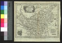
Description:
Appeared in the Universal Magazine,On verso: Blank
Member of:
Venable Maps
Resource Type:
cartographic
Pagination
- Previous page
- Page 2