361 - 480 of 14947 records
Appleton City, Missouri, 1891 August, sheet 2
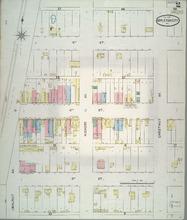
Description: Appleton City, Missouri, August 1891. Streets: Third Street, Fourth Street, Fifth Street, Walnut Avenue, Hickory Avenue, Chestnut Avenue
Member of: Appleton City, Missouri maps
Resource Type: cartographic
Ashgrove, Missouri, 1910 October, sheet 3
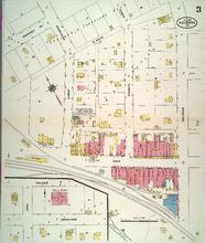
Description: Ashgrove, Missouri, October 1910. Streets: Main, N. Main, Swinney Avenue, Albert, Francis, Calhoun
Member of: Ashgrove, Missouri maps
Resource Type: cartographic
Ashgrove, Missouri, 1896 May, sheet 2
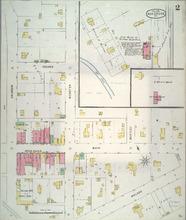
Description: Ashgrove, Missouri, May 1896. Streets: Walker, Main, Second Street, Calhoun, Webster, Bentley
Member of: Ashgrove, Missouri maps
Resource Type: cartographic
Inventory of the County Archives, Jasper County, Missouri
Description: No. 73.
Member of: Works Projects Administration Historical Records Survey
Resource Type: Text
Ashgrove, Missouri, 1896 May, sheet 1
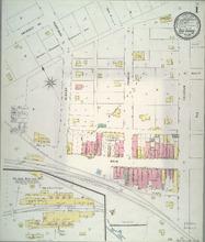
Description: Ashgrove, Missouri, May 1896. Streets: Main, Swinney Avenue, Albert, Perryman, Francis, Calhoun
Member of: Ashgrove, Missouri maps
Resource Type: cartographic
Ashgrove, Missouri, 1921 October, sheet 3
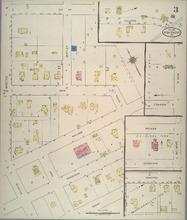
Description: Ashgrove, Missouri, October 1921. Streets: Grant, Crookham, Walker, Main, Second Street, Webster, High, Bentley, South
Member of: Ashgrove, Missouri maps
Resource Type: cartographic
Palace of Horticulture,Supplement to St. Louis Globe-Democrat, Mar. 27, 1904
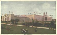
Description: This reproduction print was issued as part of a Sunday supplement series by the St. Louis Globe-Democrat in 1904 to highlight the Louisiana Purchase Exposition.
Member of: All Posters (Collection), Artistic views of the Louisiana Purchase Exposition, St. Louis, 1904 (Collection)
Resource Type: Still Image
Ashgrove, Missouri, 1921 October, sheet 1
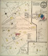
Description: Ashgrove, Missouri, October 1921. Index; Streets: Cave, Mill, Main, Swinney Avenue, Wilson, Thurmond Avenue, Perryman, Charles, Mason
Member of: Ashgrove, Missouri maps
Resource Type: cartographic
Ashgrove, Missouri, 1902 June, sheet 1
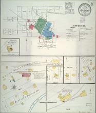
Description: Ashgrove, Missouri, June 1902. Index; Streets: Main, Mill, Walker, Calhoun
Member of: Ashgrove, Missouri maps
Resource Type: cartographic
Ashgrove, Missouri, 1921 October, sheet 4
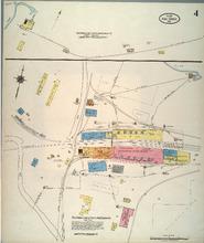
Description: Ashgrove, Missouri, October 1921. Streets: Ashgrove Lime and Portland Cement Co.
Member of: Ashgrove, Missouri maps
Resource Type: cartographic
Ashgrove, Missouri, 1910 October, sheet 2
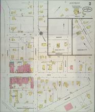
Description: Ashgrove, Missouri, October 1910. Streets: Walker, Main, Second Street, Calhoun, Webster, Bentley
Member of: Ashgrove, Missouri maps
Resource Type: cartographic
Artistic views of the Louisiana Purchase Exposition, St. Louis, 1904,Supplement to St. Louis Globe-Democrat, August 28, 1904
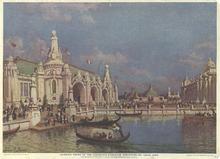
Description: This reproduction print was issued as part of a Sunday supplement series by the St. Louis Globe-Democrat in 1904 to highlight the Louisiana Purchase Exposition.
Member of: All Posters (Collection), Artistic views of the Louisiana Purchase Exposition, St. Louis, 1904 (Collection)
Resource Type: Still Image
Ashgrove, Missouri, 1893 July, sheet 1
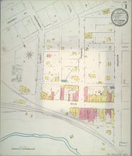
Description: Ashgrove, Missouri, July 1893. Streets: Main, Swinney Avenue, Albert, Perryman, Francis, Calhoun
Member of: Ashgrove, Missouri maps
Resource Type: cartographic
Ashgrove, Missouri, 1921 October, sheet 2
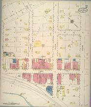
Description: Ashgrove, Missouri, October 1921. Streets: Main, Swinney Avenue, Frances, Calhoun, Webster
Member of: Ashgrove, Missouri maps
Resource Type: cartographic
Appleton City, Missouri, 1902 March, sheet 1
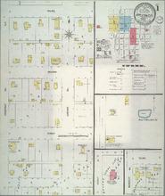
Description: Appleton City, Missouri, March 1902. Streets: A Street, First, Second, Third, Chestnut Avenue, Locust Avenue
Member of: Appleton City, Missouri maps
Resource Type: cartographic
Appleton City, Missouri, 1896 May, sheet 2
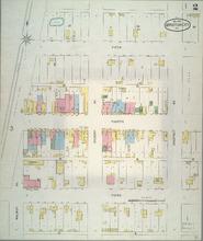
Description: Appleton City, Missouri, May 1896. Streets: Third Street, Fourth Street, Fifth Street, Walnut Avenue, Hickory Avenue, Chestnut Avenue
Member of: Appleton City, Missouri maps
Resource Type: cartographic
Appleton City, Missouri, 1891 August, sheet 3
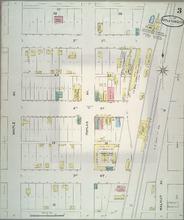
Description: Appleton City, Missouri, August 1891. Streets: Third Street, Fourth Street, Fifth Street, Maple Avenue, Poplar Avenue, Walnut Avenue
Member of: Appleton City, Missouri maps
Resource Type: cartographic
Armstrong, Missouri, 1917 August
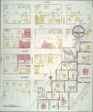
Description: Armstrong, Missouri, August 1917. Streets: Glasgo, Halley, Elm, Harvey, Evans, Central, Fayette
Member of: Armstrong, Missouri maps
Resource Type: cartographic
Inventory of the County Archives, Cass County, Missouri
Member of: Works Projects Administration Historical Records Survey
Appleton City, Missouri, 1918 September, sheet 5
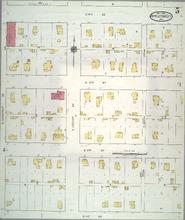
Description: Appleton City, Missouri, September 1918. Streets: East First Street, East Second Street, East Third Street, South Chestnut Avenue, South Locust Avenue, South Beech
Member of: Appleton City, Missouri maps
Resource Type: cartographic
Appleton City, Missouri, 1902 March, sheet 3
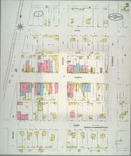
Description: Appleton City, Missouri, March 1902. Streets: Third Street, Fourth Street, Fifth Street, Walnut Avenue, Hickory Avenue, Chestnut Avenue
Member of: Appleton City, Missouri maps
Resource Type: cartographic
Appleton City, Missouri, 1918 September, sheet 1
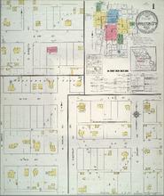
Description: Appleton City, Missouri, September 1918. Index; Streets: Sixth Street, Seventh Street, Third Street, N. Maple Avenue, N. Poplar Avenue, S. Chestnut Avenue, S. Locust Avenue, S. Burdette
Member of: Appleton City, Missouri maps
Resource Type: cartographic
Appleton City, Missouri, 1910 November, sheet 2
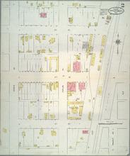
Description: Appleton City, Missouri, November 1910. Streets: Third Street, Fourth Street, Fifth Street, Maple Avenue, Poplar Avenue, Walnut Avenue
Member of: Appleton City, Missouri maps
Resource Type: cartographic
Albany, Missouri, 1916 May, sheet 4
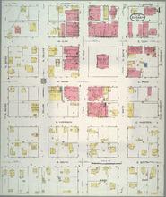
Description: Albany, Missouri, May 1916. Streets: W. South, E. South, W. Harrison, E. Harrison, W. Wood, E. Wood, W. Clay, E. Clay, W. Jackson, E. Jackson, S. Water, N. Water, S. Dallas, N. Dallas, S. Polk, N. Polk, S. Smith, N. Smith, S. Hundley, N. Hundley
Member of: Albany, Missouri maps
Resource Type: cartographic
Anderson, Missouri, 1920 September
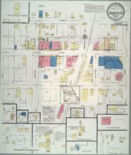
Description: Anderson, Missouri, September 1920. Streets: Beaver, Main, North, Oak, Marshal, Sycamore, East
Member of: Anderson, Missouri maps
Resource Type: cartographic
Appleton City, Missouri, 1896 May, sheet 3
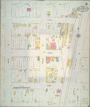
Description: Appleton City, Missouri, May 1896. Streets: Third Street, Fourth Street, Fifth Street, Maple Avenue, Poplar Avenue, Walnut Avenue
Member of: Appleton City, Missouri maps
Resource Type: cartographic
Appleton City, Missouri, 1885 October, sheet 1
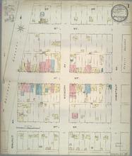
Description: Appleton City, Missouri, October 1885. Streets: Third Street, Fourth Street, Fifth Street, Walnut Avenue, Hickory Avenue Chestnut Avenue
Member of: Appleton City, Missouri maps
Resource Type: cartographic
Albany, Missouri, 1916 May, sheet 1
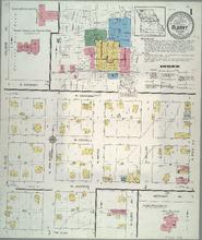
Description: Albany, Missouri, May 1916. Streets: W. Clay, W. Jackson, W. Howell, W. Canaday, N. Olive, N. Van Buren, N. Water, N. Dallas, N Polk
Member of: Albany, Missouri maps
Resource Type: cartographic
Albany, Missouri, 1909 February, sheet 4
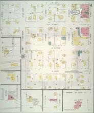
Description: Albany, Missouri, February 1909. Streets: W. South W. Harrison, W. Wood, W. Clay, N. Olive, S. Van Buren, N. Van Buren, S. Water, N. Water, S. Dallas, N. Dallas, S. Polk, N. Polk
Member of: Albany, Missouri maps
Resource Type: cartographic
Albany, Missouri, 1886 January
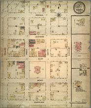
Description: Albany, Missouri, January 1886. Streets: Harrison, Wood, Clay, Jackson, Howell, Dallas, Polk, Smith, Hundley
Member of: Albany, Missouri maps
Resource Type: cartographic
Albany, Missouri, 1892 December
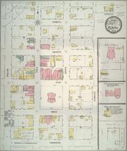
Description: Albany, Missouri, December 1892. Streets: Harrison, Wood, Clay, Jackson, Howell, Dallas, Polk, Smith, Hundley
Member of: Albany, Missouri maps
Resource Type: cartographic
Albany, Missouri, 1916 May, sheet 3
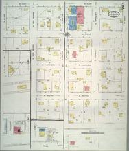
Description: Albany, Missouri, May 1916. Streets: W. South, E. South, W. Harrison, E. Harrison, W. Wood, E. Wood, W. Clay, E. Clay, N. Olive, S. Van Buren, N. Van Buren, S. Water, N. Water, S. Hundley, N. Hundley, S. Croquet, N. Croquet, S. East, N. East
Member of: Albany, Missouri maps
Resource Type: cartographic
Ashgrove, Missouri, 1902 June, sheet 2
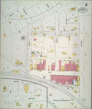
Description: Ashgrove, Missouri, June 1902. Streets: Main, Swinney Avenue, Albert, Perryman, Francis, Calhoun
Member of: Ashgrove, Missouri maps
Resource Type: cartographic
Ashgrove, Missouri, 1902 June, sheet 3
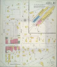
Description: Ashgrove, Missouri, June 1902. Streets: Calhoun, Webster, Bentley, Walker, Main, 2nd (Second) Street
Member of: Ashgrove, Missouri maps
Resource Type: cartographic
Ashgrove, Missouri, 1910 October, sheet 1
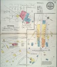
Description: Ashgrove, Missouri, October 1910. Index; Streets: Mill, Ashgrove Lime and Portland Cement Company, Inc.
Member of: Ashgrove, Missouri maps
Resource Type: cartographic
Ashgrove, Missouri, 1893 July, sheet 2
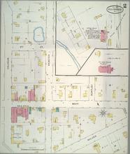
Description: Ashgrove, Missouri, July 1893. Streets: Walker, Main, Second Street, Calhoun, Webster, Bentley
Member of: Ashgrove, Missouri maps
Resource Type: cartographic
Bertrand, Missouri, 1919 June, sheet 1
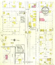
Description: Bertrand, Missouri, June 1919. Streets: Spruce, Locust, Hickory, Ash, Elm, Birch, Cedar
Member of: Bertrand, Missouri maps
Resource Type: cartographic
Palace of Machinery,Supplement to St. Louis Globe-Democrat, Jan. 17, 1904
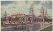
Description: This reproduction print was issued as part of a Sunday supplement series by the St. Louis Globe-Democrat in 1904 to highlight the Louisiana Purchase Exposition.
Member of: All Posters (Collection), Artistic views of the Louisiana Purchase Exposition, St. Louis, 1904 (Collection)
Resource Type: Still Image
Bertrand, Missouri, 1911 September, sheet 1
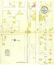
Description: Bertrand, Missouri, September 1911. Streets: Spruce, Locust, Hickory, Ash, Elm, Berch, Cedar
Member of: Bertrand, Missouri maps
Resource Type: cartographic
Bethany, Missouri, 1900 September, sheet 2
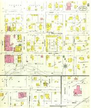
Description: Bethany, Missouri, September 1900. Streets: Brush, 1st (First) Street, South or Main, North or Central, Alder, Chestnut, Water, Marion, West or Lewis, Elm, Nelson, East or Miller
Member of: Bethany, Missouri maps
Resource Type: cartographic
Bethany, Missouri, 1909 March, sheet 4
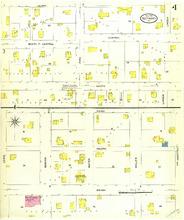
Description: Bethany, Missouri, March 1909. Streets: Brush, Forth, Third, South, Central, North or Central, Alder, Chestnut, Miller, Water, Marion, Lewis, Linden, Pine,
Member of: Bethany, Missouri maps
Resource Type: cartographic
Bethany, Missouri, 1916 May, sheet 3
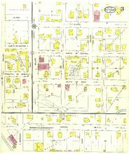
Description: Bethany, Missouri, May 1916. Streets: Marion, King, Beekman, South or Main, North or Central, Alder, Dallas, Rock, Miller, Chestnut, Elm,
Member of: Bethany, Missouri maps
Resource Type: cartographic
Bethany, Missouri, 1909 March, sheet 2
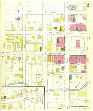
Description: Bethany, Missouri, March 1909. Streets: Third, South, First, South or Main, North or Central, Alder, Water, Marion, Lewis or West, Rock, Dallas
Member of: Bethany, Missouri maps
Resource Type: cartographic
Bethany, Missouri, 1909 March, sheet 1
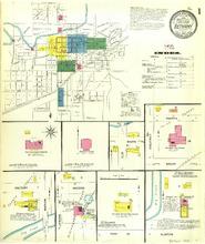
Description: Bethany, Missouri, March 1909. Index; Streets: Clinton, Park Avenue, Second, Jerome Avenue, Marion, Factory, Brush, Forth, Chestnut, Elm, South,
Member of: Bethany, Missouri maps
Resource Type: cartographic
Palace of Agriculture,Supplement to St. Louis Globe-Democrat, Feb. 21, 1904
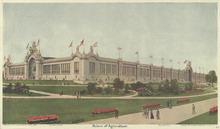
Description: This reproduction print was issued as part of a Sunday supplement series by the St. Louis Globe-Democrat in 1904 to highlight the Louisiana Purchase Exposition.
Member of: All Posters (Collection), Artistic views of the Louisiana Purchase Exposition, St. Louis, 1904 (Collection)
Resource Type: Still Image
Bethany, Missouri, 1916 May, sheet 2
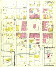
Description: Bethany, Missouri, May 1916. Streets: South or Main, North or Central, Alder, Rock, Lewis or West, Marion, Water, Miller
Member of: Bethany, Missouri maps
Resource Type: cartographic
Bethany, Missouri, 1892 December, sheet 1
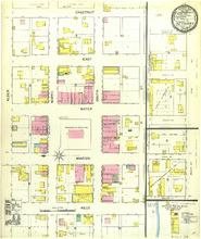
Description: Bethany, Missouri, December 1892. Streets: West, Marion, Water, East, Chesnut, Alder, North, South, 1st (First) Street, Elm
Member of: Bethany, Missouri maps
Resource Type: cartographic
Bevier, Missouri, 1917 August
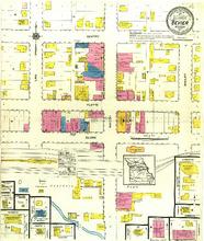
Description: Bevier, Missouri, August 1917. Streets: Elvira, Platte, Gentry, Linn, Macon, Shelby, Hickory, Randolph, Carroll,
Member of: Bevier, Missouri maps
Resource Type: cartographic
Bakersfield, Missouri, 1912 December, sheet 1
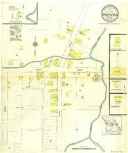
Description: Bakersfield, Missouri, December 1912. Streets: W. Main, E. Main, S. Main, N. Main
Member of: Bakersfield, Missouri maps
Resource Type: cartographic
Bakersfield, Missouri, 1923 October, sheet 1
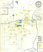
Description: Bakersfield, Missouri, October 1923. Streets: W. Main, E. Main, S. Main, N. Main
Member of: Bakersfield, Missouri maps
Resource Type: cartographic
Baring, Missouri, 1923 June, sheet 1
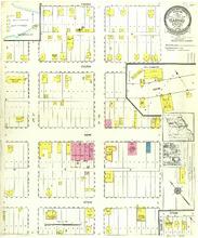
Description: Baring, Missouri, June 1923. Streets: Pitkin, Main, Fulton, Frazer, 2nd (Second) Street, 1st (First) Street
Member of: Baring, Missouri maps
Resource Type: cartographic
Belle, Missouri, 1922 December, sheet 2
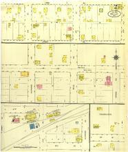
Description: Belle, Missouri, December 1922. Streets: 5th (Fifth) St, 4th (Fourth) Street, 3rd (Third) Street, Jersey Avenue, Linn Avenue, Alvarado Avenue, 1st (First) Street, Belle Avenue, Vienna Avenue, 2nd (Second) Street
Member of: Belle, Missouri maps
Resource Type: cartographic
Artistic views of the Louisiana Purchase Exposition, St. Louis, 1904,Supplement to St. Louis Globe-Democrat, September 18, 1904
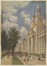
Description: This reproduction print was issued as part of a Sunday supplement series by the St. Louis Globe-Democrat in 1904 to highlight the Louisiana Purchase Exposition.
Member of: All Posters (Collection), Artistic views of the Louisiana Purchase Exposition, St. Louis, 1904 (Collection)
Resource Type: Still Image
Aurora, Missouri, 1897 August, sheet 2
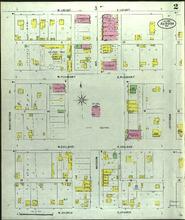
Description: Aurora, Missouri, August 1897. Streets: W. Church, E. Church, W. College, E. College, W. Pleasant, E. Pleasant, W. Locust, E. Locust, Washington Av, Jefferson Avenue
Member of: Aurora, Missouri maps
Resource Type: cartographic
Inventory of the County Archives of Missouri, Cole County
Description: Prepared by the Missouri Historical Records Survey Project, Division of Professional and Service Projects, Work Projects Administration.,No. 26.
Member of: Works Projects Administration Historical Records Survey
Resource Type: Text
Aurora, Missouri, 1908 August, sheet 01
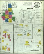
Description: Aurora, Missouri, August 1908. Index; Streets: S. Elliott Avenue, N. Elliott Avenue
Member of: Aurora, Missouri maps
Resource Type: cartographic
Auxvasse, Missouri, 1910 February, sheet 1
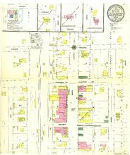
Description: Auxvasse, Missouri, February 1910. Streets: Walnut, Harrison or Clinton Avenue, Prairie, 3rd (Third) Avenue, Main, Mary
Member of: Auxvasse, Missouri maps
Resource Type: cartographic
Auxvasse, Missouri, 1902 May, sheet 1
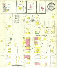
Description: Auxvasse, Missouri, May 1902. Streets: Walnut, Harrison or Clinton Avenue, Prairie, 3rd (Third) Avenue, Main, Mary
Member of: Auxvasse, Missouri maps
Resource Type: cartographic
Ava, Missouri, 1914 July, sheet 1
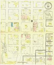
Description: Ava, Missouri, July 1914. Streets: A. Street, Jefferson, Madison, Spring, Benton, Washington, Lincoln, Webster
Member of: Ava, Missouri maps
Resource Type: cartographic
Belton, Missouri, 1914 February, sheet 1
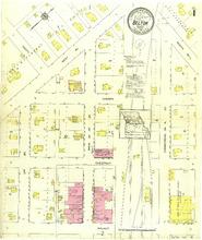
Description: Belton, Missouri, February 1914. Streets: Walnut, Chestnut, Cherry, 2nd (Second) St, Scott, West Avenue, Main or 1st (First) Street, Commercial or A Street, North Avenue
Member of: Belton, Missouri maps
Resource Type: cartographic
Belton, Missouri, 1907 September, sheet 2
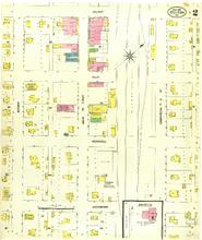
Description: Belton, Missouri, September 1907. Streets: Hackberry, Hershell, Ella, Walnut, Second, Main or First, Commercial or A Street
Member of: Belton, Missouri maps
Resource Type: cartographic
Belton, Missouri, 1893 September, sheet 1
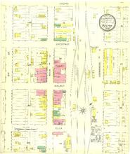
Description: Belton, Missouri, September 1893. Streets: Ella, Walnut, Chestnut, Cherry, 2nd (Second) Street, Main or 1st (First) Street, Commercial or A
Member of: Belton, Missouri maps
Resource Type: cartographic
Inventory of the County Archives of Missouri, Pike County (Bowling Green)
Description: No. 82.
Member of: Works Projects Administration Historical Records Survey
Resource Type: Text
Bernie, Missouri, 1914 October, sheet 1
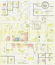
Description: Bernie, Missouri, October 1914. Streets: Woods, Main, Crumb, Fordyce, Stewart, Drake, Miller
Member of: Bernie, Missouri maps
Resource Type: cartographic
Belle, Missouri, 1914 April, sheet 1
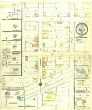
Description: Belle, Missouri, April 1914. Streets: 4th (Fourth) Street, 3rd (Third) Street, 2nd (Second) Street, Alvarado Avenue, Belle Avenue
Member of: Belle, Missouri maps
Resource Type: cartographic
Belle, Missouri, 1922 December, sheet 1
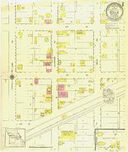
Description: Belle, Missouri, December 1922. Streets: 4th (Fourth) Street, 3rd (Third) Street, 2nd (Second) Street, Linn Avenue, Alvarado Avenue, Belle Avenue
Member of: Belle, Missouri maps
Resource Type: cartographic
Belton, Missouri, 1898 September, sheet 1
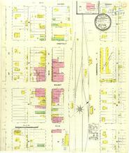
Description: Belton, Missouri, September 1898. Streets: Ella, Walnut, Chestnut, Cherry, 2nd (Second) Street, Main or 1st (First) Street, Commercial or A Street
Member of: Belton, Missouri maps
Resource Type: cartographic
Belton, Missouri, 1914 February, sheet 2
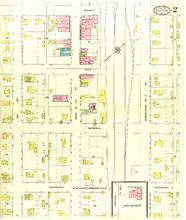
Description: Belton, Missouri, February 1914. Streets: Hackberry, Hershell, Ella, Walnut, 2nd (Second) Street, Main or 1st (First) Street, Commercial or A Street
Member of: Belton, Missouri maps
Resource Type: cartographic
Belton, Missouri, 1907 September, sheet 1
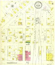
Description: Belton, Missouri, September 1907. Streets: Walnut, Chestnut, Cherry, Second, Scott, West Avenue, Main or First, Commercial or A Street, North Avenue
Member of: Belton, Missouri maps
Resource Type: cartographic
Billings, Missouri, 1921 August
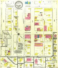
Description: Billings, Missouri, August 1921. Streets: Hamilton Avenue, Washington Avenue, Jefferson Avenue, First, Main, Commercial, Elm, Pine,
Member of: Billings, Missouri maps
Resource Type: cartographic
Birch Tree, Missouri, 1912 December
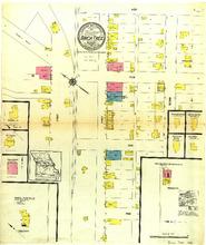
Description: Birch Tree, Missouri, December 1912. Streets: Pine, Oak, Elm, Ash, First, Second,
Member of: Birch Tree, Missouri maps
Resource Type: cartographic
Bismarck, Missouri, 1915 May
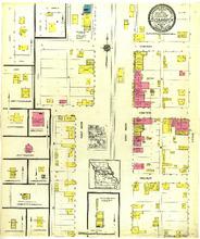
Description: Bismark, Missouri, May 1915. Streets: Walnut, Centre, Cherry, West Main, East Main, Cedar,
Member of: Bismarck, Missouri maps
Resource Type: cartographic
Blackwater, Missouri, 1921 July
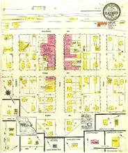
Description: Blackwater, Missouri, July 1921. Streets: Scott Avenue, Trigg Avenue, Railroad Avenue, Cooney, Main, Fray,
Member of: Blackwater, Missouri maps
Resource Type: cartographic
Bethany, Missouri, 1909 March, sheet 3
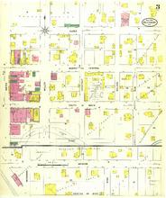
Description: Bethany, Missouri, March 1909. Streets: Marion, First, South or Main, North or Central, Alder, King, Beekman, Elm, Nelson, Chestnut, Miller, Water,
Member of: Bethany, Missouri maps
Resource Type: cartographic
Bethany, Missouri, 1916 May, sheet 4
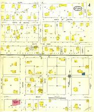
Description: Bethany, Missouri, May 1916. Streets: Brush, 4th (Fourth) Street, 3rd (Third) Street, South or Main, North or Central, Lewis or West, Marion, Water, Miller, Chestnut, Pine, Linden, Alder,
Member of: Bethany, Missouri maps
Resource Type: cartographic
Bethany, Missouri, 1900 September, sheet 1
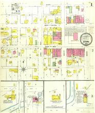
Description: Bethany, Missouri, September 1900. Streets: 1st (First). Street, South or Main, North or Central, Alder, Water, Marion, Lewis, Rock
Member of: Bethany, Missouri maps
Resource Type: cartographic
Inventory of the County Archives, Dallas County, Missouri
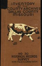
Member of: Works Projects Administration Historical Records Survey
Bethany, Missouri, 1916 May, sheet 1
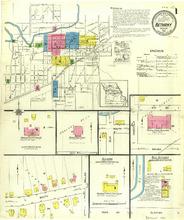
Description: Bethany, Missouri, May 1916. Index; Streets: South, Park Avenue, Clinton, Brush, Chestnut, 4th (Fourth) Street, Elm
Member of: Bethany, Missouri maps
Resource Type: cartographic
Boonville, Missouri, 1917 November, sheet 4
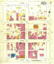
Description: Boonville, Missouri, November 1917. Streets: E. Spring, E. Morgan, E. High, E. Water, 4th (Fourth) Street, 5th (Fifth) Street, 6th (Sixth) Street
Member of: Boonville, Missouri maps
Resource Type: cartographic
Boonville, Missouri, 1900 March, sheet 4
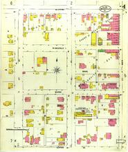
Description: Boonville, Missouri, March 1900. Streets: Center Avenue, W. Vine, W. Chestnut, W. Spring, 3rd (Third) Street, 4th (Fourth) Street, 5th (Fifth) Street
Member of: Boonville, Missouri maps
Resource Type: cartographic
Inventory of the County Archives of Missouri, Shelby County
Description: No. 108.
Member of: Works Projects Administration Historical Records Survey
Resource Type: Text
Boonville, Missouri, 1917 November, sheet 6
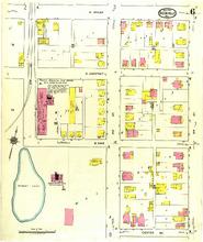
Description: Boonville, Missouri, November 1917. Streets: Center Avenue, E. Vine, E. Chestnut, E. Spring, 2nd (Second) Street, 3rd (Third) Street, 4th (Fourth) Street
Member of: Boonville, Missouri maps
Resource Type: cartographic
Boonville, Missouri, 1900 March, sheet 1
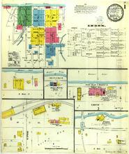
Description: Boonville, Missouri, March 1900. Index; Streets: W. Water Street, E. Water, 1st (First) Street, W. Spring
Member of: Boonville, Missouri maps
Resource Type: cartographic
Air raids
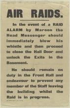
Description: [543], Wt. 9854-34 G. H.,Text: In the event of a raid alarm by Maroon the Head Messenger should immediately blow his whistle and then proceed to close the hall door and unlock the exits in the basement. He should remain on duty in the front hall and endeavour to prevent any member of the staff leaving the building whilst the raid is in progress.,MU: Broadside is encapsulated.,Broadside giving instructions for to be taken following a Maroon alarm. A maroon is an exploding firework that creates a loud bang to act as a signal or warning. In the First World War, they were used in London to warn of imminent air raids. (Book Drum web site notes on Rebecca by Daphne du Maurier.)
Member of: All Posters (Collection), World War I Posters (Collection)
Resource Type: Still Image
Boonville, Missouri, 1885 August, sheet 2
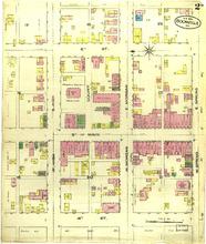
Description: Boonville, Missouri, August 1885. Streets: 4th (Fourth) Street, 5th (Fifth) Street, Main, 6th (Sixth) Street, W. High, E. High, W. Morgan, E. Morgan, W. Spring, E. Spring
Member of: Boonville, Missouri maps
Resource Type: cartographic
Womanpower means you ... at your W.S.G.A. Careers Conference
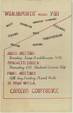
Description: Hand-printed text gives the weekdays, times, and locations for the two-day careers conference sponsored by the W.S.G.A. nine possible careers are listed above.,MU: Poster is encapsulated.,
Member of: All Posters (Collection)
Resource Type: Still Image
Boonville, Missouri, 1900 March, sheet 3
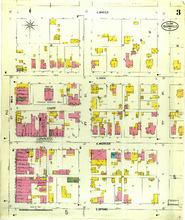
Description: Boonville, Missouri, March 1900. Streets: E. Spring, E. Morgan, E. High, E. Water, Court, Main, 5th (Fifth) Street, 6th (Sixth) Street, 7th (Seventh) Street
Member of: Boonville, Missouri maps
Resource Type: cartographic
Boonville, Missouri, 1910 January, sheet 8
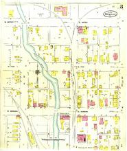
Description: Boonville, Missouri, January 1910. Streets: E. Morgan, W. Morgan, E. High, W. High, E. Water, W. Water, 1st (First) Street, 2nd (Second) Street, 3rd (Third) Street
Member of: Boonville, Missouri maps
Resource Type: cartographic
Boonville, Missouri, 1910 January, sheet 2
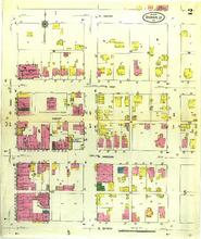
Description: Boonville, Missouri, January 1910. Streets: E. Spring, E. Morgan, E. High, E. Water, 5th (Fifth) Street, 6th (Sixth) Street, 7th (Seventh) Street
Member of: Boonville, Missouri maps
Resource Type: cartographic
Boonville, Missouri, 1892 October, sheet 5
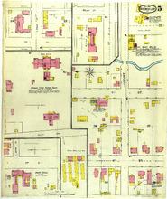
Description: Boonville, Missouri, October 1892. Streets: 6th (Sixth) Street, 7th (Seventh) Street, Walnut Street, 3rd (Third) Street
Member of: Boonville, Missouri maps
Resource Type: cartographic
Boonville, Missouri, 1910 January, sheet 4
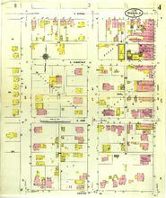
Description: Boonville, Missouri, January 1910. Streets: Center Avenue, E. Vine, E. Chestnut, E. Spring, Marl, 3rd (Third) Street, 4th (Fourth) Street, 5th (Fifth) Street
Member of: Boonville, Missouri maps
Resource Type: cartographic
Boonville, Missouri, 1917 November, sheet 1
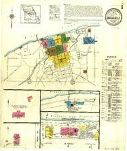
Description: Boonville, Missouri, November 1917. Index; Streets: E. Water, Rock Road
Member of: Boonville, Missouri maps
Resource Type: cartographic
Boonville, Missouri, 1900 March, sheet 6
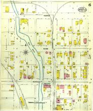
Description: Boonville, Missouri, March 1900. Streets: W. Morgan, W. High, W. Water, 1st (First) Street, 2nd (Second) Street, 3rd (Third) Street
Member of: Boonville, Missouri maps
Resource Type: cartographic
U.S. Marines
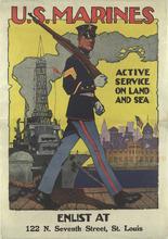
Description: MU: Rest of poster reads: Enlist at 122 N. Seventh Street, St. Louis mounted on canvas.,Poster showing Marine in dress blues marching in front of ship.
Member of: All Posters (Collection), World War I Posters (Collection)
Resource Type: Still Image
Boonville, Missouri, 1892 October, sheet 2
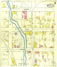
Description: Boonville, Missouri, October 1892. Streets: W. Morgan, W. High, W. Water, 1st (First) Street, 2nd (Second) Street, 3rd (Third) Street
Member of: Boonville, Missouri maps
Resource Type: cartographic
Bonne Terre, Missouri, 1894 January, sheet 1
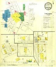
Description: Bonne Terre, Missouri, January 1894. Index; Streets: Division, Allen, Pullis
Member of: Bonne Terre, Missouri maps
Resource Type: cartographic
Bonne Terre, Missouri, 1900 October, sheet 1
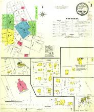
Description: Bonne Terre, Missouri, October 1900. Index; Streets: Division, Allen, Church, 2nd (Second) Street
Member of: Bonne Terre, Missouri maps
Resource Type: cartographic
Arbeiter! Soldaten!
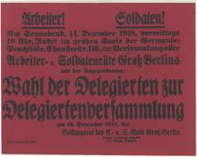
Description: Additional text announces the place and dates for meetings to choose delegates.,Printed on red paper with black text.
Member of: All Posters (Collection), World War I Posters (Collection)
Resource Type: Still Image
Bonne Terre, Missouri, 1894 January, sheet 3
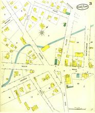
Description: Bonne Terre, Missouri, January 1894. Streets: Well, Oak Avenue, Church, Main, School, Allen, Natatorium, Mound, Fite, Park, Division
Member of: Bonne Terre, Missouri maps
Resource Type: cartographic
Bonne Terre, Missouri, 1908 May, sheet 03
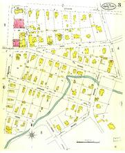
Description: Bonne Terre, Missouri, May 1908. Streets: Mound, Cross, Johnson, Western, School, Park Avenue, Fite, Lead, Division
Member of: Bonne Terre, Missouri maps
Resource Type: cartographic
Bonne Terre, Missouri, 1908 May, sheet 01
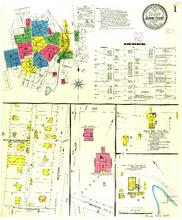
Description: Bonne Terre, Missouri, May 1908. Index; Streets: Locust, Western, Allen, Division, Zoe
Member of: Bonne Terre, Missouri maps
Resource Type: cartographic
Bonne Terre, Missouri, 1900 October, sheet 4
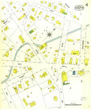
Description: Bonne Terre, Missouri, October 1900. Streets: Oak Avenue, Oak Street, Church, Main, School, Allen, Natatorium, Park, Mound, Fite, Weil
Member of: Bonne Terre, Missouri maps
Resource Type: cartographic
Guide to Public Vital Statistics Records in Missouri
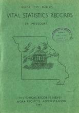
Member of: Works Projects Administration Historical Records Survey
Resource Type: Text
Boonville, Missouri, 1892 October, sheet 1

Description: Boonville, Missouri, October 1892. Index; Streets: W. Morgan, E. Water, W. High, W. Spring 1st (First) Street
Member of: Boonville, Missouri maps
Resource Type: cartographic
Boonville, Missouri, 1917 November, sheet 5
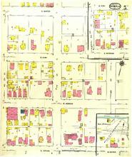
Description: Boonville, Missouri, November 1917. Streets: E. Spring, E. Morgan, E. High, E. Water, 6th (Sixth) Street, 7th (Seventh) Street, 8th (Eighth) Street
Member of: Boonville, Missouri maps
Resource Type: cartographic
Boonville, Missouri, 1892 October, sheet 4
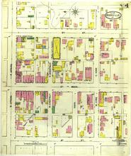
Description: Boonville, Missouri, October 1892. Streets: 4th (Fourth) Street, 5th (Fifth) Street, Main, 6th (Sixth) Street, W. Spring, E. Spring, W. Chestnut, E. Chestnut, Marl, W. Vine, E. Vine
Member of: Boonville, Missouri maps
Resource Type: cartographic
Boonville, Missouri, 1910 January, sheet 3
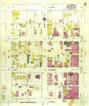
Description: Boonville, Missouri, January 1910. Streets: E. Spring, E. Morgan, E. High, E. Water, 3rd (Third) Street, 4th (Fourth) Street, 5th (Fifth) Street
Member of: Boonville, Missouri maps
Resource Type: cartographic
Inventory of the County Archives, Marion County, Missouri
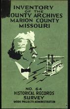
Description: No. 64.
Member of: Works Projects Administration Historical Records Survey
Resource Type: Text
Boonville, Missouri, 1917 November, sheet 3
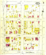
Description: Boonville, Missouri, November 1917. Streets: E. Spring, E. Morgan, E. High, E. Water, 2nd (Second) Street, 3rd (Third) Street, 4th (Fourth) Street
Member of: Boonville, Missouri maps
Resource Type: cartographic
Boonville, Missouri, 1885 August, sheet 3
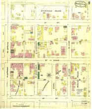
Description: Boonville, Missouri, August 1885. Streets: 4th (Fourth) Street, 5th (Fifth) Street, Main, 6th (Sixth) Street, W. Spring, E. Spring, W. Chestnut, E. Chestnut, W. Vine, E. Vine
Member of: Boonville, Missouri maps
Resource Type: cartographic
Boonville, Missouri, 1917 November, sheet 2
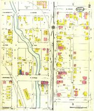
Description: Boonville, Missouri, November 1917. Streets: E. Spring, E. Morgan, E. High, E. Water, W. Morgan, 1st (First) Street, 2nd (Second) Street, E. Vine, Minden Place, Locust, W. Spring, W. Morgan, W. High, W. Water
Member of: Boonville, Missouri maps
Resource Type: cartographic
Boonville, Missouri, 1910 January, sheet 5
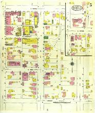
Description: Boonville, Missouri, January 1910. Streets: Locust, E. Vine, E. Chestnut, E. Spring, 5th (Fifth) Street, 6th (Sixth) Street, 7th (Seventh) Street
Member of: Boonville, Missouri maps
Resource Type: cartographic
Boonville, Missouri, 1910 January, sheet 6
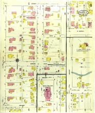
Description: Boonville, Missouri, January 1910. Streets: Walnut, Spruce, Arch, Locust, 5th (Fifth) Street, 6th (Sixth) Street, E. Morgan, 7th (Seventh) Street
Member of: Boonville, Missouri maps
Resource Type: cartographic
Boonville, Missouri, 1900 March, sheet 7
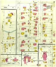
Description: Boonville, Missouri, March 1900. Streets: E. Spruce, Wyan, Locust, Center Avenue, 5th (Fifth) Street, 6th (Sixth) Street, E. Walnut, 3rd (Third) Street
Member of: Boonville, Missouri maps
Resource Type: cartographic
Boonville, Missouri, 1910 January, sheet 7
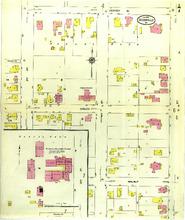
Description: Boonville, Missouri, January 1910. Streets: Walnut, Spruce, Center Avenue, 3rd (Third) Street, 4th (Fourth) Street, 5th (Fifth) Street
Member of: Boonville, Missouri maps
Resource Type: cartographic
Boonville, Missouri, 1917 November, sheet 7
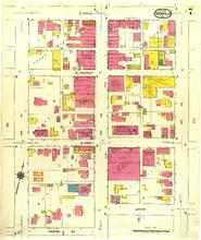
Description: Boonville, Missouri, November 1917. Streets: Center Avenue, E. Vine, E. Chestnut, E. Spring, 4th (Fourth) Street, 5th (Fifth) Street, 6th (Sixth) Street, Locust
Member of: Boonville, Missouri maps
Resource Type: cartographic
Boonville, Missouri, 1885 August, sheet 1
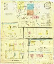
Description: Boonville, Missouri, August 1885. Index; Streets: W. Morgan, E. Water, W. High, 3rd (Third) Street
Member of: Boonville, Missouri maps
Resource Type: cartographic
Boonville, Missouri, 1900 March, sheet 5
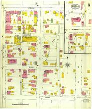
Description: Boonville, Missouri, March 1900. Streets: Locust, E. Vine, E. Chestnut, E. Spring, 5th (Fifth) Street, 6th (Sixth) Street, 7th (Seventh) Street
Member of: Boonville, Missouri maps
Resource Type: cartographic
Boonville, Missouri, 1917 November, sheet 9
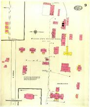
Description: Boonville, Missouri, November 1917. Streets: E. Morgan, Missouri, State Reform School
Member of: Boonville, Missouri maps
Resource Type: cartographic
Boonville, Missouri, 1900 March, sheet 2
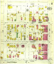
Description: Boonville, Missouri, March 1900. Streets: W. Spring, W. Morgan, W. High, W. Water, 3rd (Third) Street, 4th (Fourth) Street, 5th (Fifth) Street
Member of: Boonville, Missouri maps
Resource Type: cartographic
Pagination
- Previous page
- Page 4
- Next page