601 - 720 of 14947 records
Center, Missouri, 1921 May, sheet 2
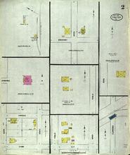
Description: Center, Missouri, May 1921. Streets: Broadway, Hawkins, Lamb, Main, State, Public, Ely, Floweree, Road, Taylor Rhodes, Standard Oil Co., Illinois Oil Co.
Member of: Center, Missouri maps
Resource Type: cartographic
Carrollton, Missouri, 1916 June, sheet 09
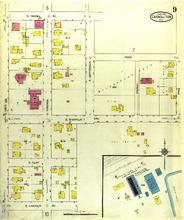
Description: Carrollton, Missouri, June 1916. Streets: E. Lincoln, E. Clay, E. Shanklin Avenue, Ford, E. Heidel Avenue, S. Main, S. Virginia, S. Jefferson, Church, Pine
Member of: Carrollton, Missouri maps
Resource Type: cartographic
Carrollton, Missouri, 1893 September, sheet 4
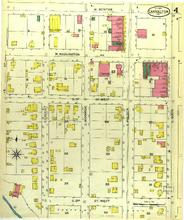
Description: Carrollton, Missouri, September 1893. Streets: S. 2nd (Second) Street West, S. 1st (First) Street West, W. Washington Avenue, W. Benton, S. Locust, S. Monroe, S. Folger, S. Main
Member of: Carrollton, Missouri maps
Resource Type: cartographic
Carrollton, Missouri, 1899 April, sheet 02
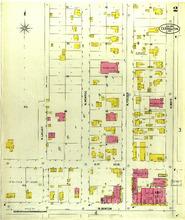
Description: Carrollton, Missouri, April 1899. Streets: W. Benton, N. 1st (First) Street, N. Locust, N. Monroe, N. Folger, N. Main
Member of: Carrollton, Missouri maps
Resource Type: cartographic
Carrollton, Missouri, 1899 April, sheet 04
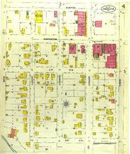
Description: Carrollton, Missouri, April 1899. Streets: S. 2nd (Second) Street, S. 1st (First) Street, W. Washington Avenue, W. Benton, Smith Avenue, S. Locust, S. Monroe, S. Folger, S. Main
Member of: Carrollton, Missouri maps
Resource Type: cartographic
Carrollton, Missouri, 1916 June, sheet 10
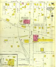
Description: Carrollton, Missouri, June 1916. Streets: W. Bolen, E. Bolen, Burlington Avenue, Lincoln, S. Monroe, S. Folger, S. Main, S. Virginia
Member of: Carrollton, Missouri maps
Resource Type: cartographic
Caruthersville, Missouri, 1919 March, sheet 5
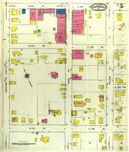
Description: Caruthersville, Missouri, March 1919. Streets: W. 7th (Seventh) Street, E. 6th (Sixth) Street, 5th (Fifth) Street, 4th (Fourth) Street, Carleton Avenue, Ward Avenue, Walker Avenue
Member of: Caruthersville, Missouri maps
Resource Type: cartographic
Caruthersville, Missouri, 1906 June, sheet 3
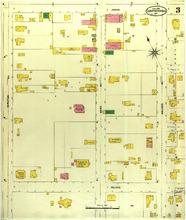
Description: Caruthersville, Missouri, June 1906. Streets: Wilkes, James, Carlton Avenue, Ward Avenue, Waler Avenue
Member of: Caruthersville, Missouri maps
Resource Type: cartographic
Caruthersville, Missouri, 1911 July, sheet 2
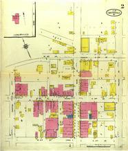
Description: Caruthersville, Missouri, July 1911. Streets: 4th (Fourth) Street (James), 3rd (Third) Street (George), 2nd (Second) Street (Charles), Carlton Avenue, Ward Avenue, Walker Avenue,
Member of: Caruthersville, Missouri maps
Resource Type: cartographic
Caruthersville, Missouri, 1900 August, sheet 2
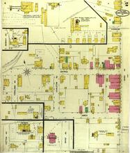
Description: Caruthersville, Missouri, August 1900. Streets: James, George, Charles, Highland Avenue, Carleton Avenue, Ward Avenue
Member of: Caruthersville, Missouri maps
Resource Type: cartographic
Centralia, Missouri, 1908 November, sheet 2
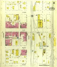
Description: Centralia, Missouri, November 1908. Streets: Collier, Rollins, Allen, Hickman, Singleton, Railroad, Wilson
Member of: Centralia, Missouri maps
Resource Type: cartographic
Univerity of Missouri School of Engineering : [photographs]

Member of: Louisiana Purchase Exposition: The 1904 St. Louis World's Fair (Collection)
Resource Type: Text
Centralia, Missouri, 1908 November, sheet 1
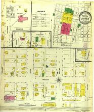
Description: Centralia, Missouri, November 1908. Index; Streets: Switzler, Hickman, Allen, Rollins, Collier, Singleton, Jefferson, Rodemeyer
Member of: Centralia, Missouri maps
Resource Type: cartographic
Centralia, Missouri, 1914 June, sheet 4
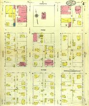
Description: Centralia, Missouri, June 1914. Streets: Barnes, Sneed, Singleton, Hickman, Allen, Rollins, Collier
Member of: Centralia, Missouri maps
Resource Type: cartographic
Centralia, Missouri, 1899 May, sheet 2
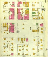
Description: Centralia, Missouri, May 1899. Streets: Barnes, Sneed, Singleton, Railroad, Hickman, Allen, Rollins, Collier
Member of: Centralia, Missouri maps
Resource Type: cartographic
Sceneries and People of Austria
Member of: Louisiana Purchase Exposition: The 1904 St. Louis World's Fair (Collection)
Resource Type: Text
Caruthersville, Missouri, 1911 July, sheet 1
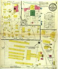
Description: Caruthersville, Missouri, July 1911. Index; Streets: Cotton Avenue, Carlton Avenue, Highland Avenue, Cotton Avenue, W. 4th (Fourth) Street (James), W. 3rd (Third). St. George
Member of: Caruthersville, Missouri maps
Resource Type: cartographic
Caruthersville, Missouri, 1900 August, sheet 1
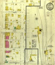
Description: Caruthersville, Missouri, August 1900. Streets: James, George, Charles, Ward Avenue, Walker Avenue
Member of: Caruthersville, Missouri maps
Resource Type: cartographic
Caruthersville, Missouri, 1911 July, sheet 4
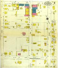
Description: Caruthersville, Missouri, July 1911. Streets: 7th (Seventh) Street (Wilkes), 4th (Fourth) Street (James), Carlton Avenue, Ward Avenue, Walker Avenue
Member of: Caruthersville, Missouri maps
Resource Type: cartographic
Cassville, Missouri, 1914 February , sheet 2
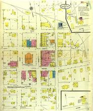
Description: Cassville, Missouri, February 1914. Streets: Hickory, Water, North, Paint, Oak, West, Main
Member of: Cassville, Missouri maps
Resource Type: cartographic
Caruthersville, Missouri, 1906 June, sheet 1
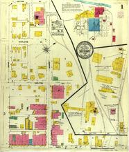
Description: Caruthersville, Missouri, June 1906. Streets: Ward Avenue, Carlton Avenue, Highland Avenue, Cotton Avenue, James, George,
Member of: Caruthersville, Missouri maps
Resource Type: cartographic
Caruthersville, Missouri, 1906 June, sheet 2
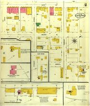
Description: Caruthersville, Missouri, June 1906. Streets: Bushey Avenue, Walker Avenue, Ward Avenue, James, George, Charles, Findley, East Wood
Member of: Caruthersville, Missouri maps
Resource Type: cartographic
Caruthersville, Missouri, 1919 March, sheet 2
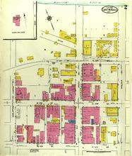
Description: Caruthersville, Missouri, March 1919. Streets: 4th (Fourth) Street, 3rd (Third) Street, 2nd (Second) Street, Carleton Avenue, Wausau Place, Ward Avenue, Walker Avenue
Member of: Caruthersville, Missouri maps
Resource Type: cartographic
Caruthersville, Missouri, 1911 July, sheet 5
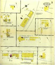
Description: Caruthersville, Missouri, July 1911. Streets: E. 10th (Tenth) Street, E. 8th (Eighth) Street
Member of: Caruthersville, Missouri maps
Resource Type: cartographic
Charleston, Missouri, 1900 August, sheet 4
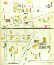
Description: Charleston, Missouri, August 1900. Streets: Main, Mill, Danforth, Elevator, Southend, State, Missouri
Member of: Charleston, Missouri maps
Resource Type: cartographic
Charleston, Missouri, 1919 July, sheet 1
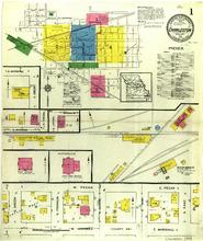
Description: Charleston, Missouri, July 1919. Index; Streets: Marshall, Pecan, S. Green, S. Franklin, S. Centre, S. Main, S. East, E. Cypress, S. Virginia, S. Locust, Brooklyn
Member of: Charleston, Missouri maps
Resource Type: cartographic
Charleston, Missouri, 1886 July, sheet 2
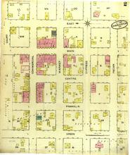
Description: Charleston, Missouri, July 1886. Streets: Green, Franklin, Centre, Main, East, Court, Commercial, Market, Cypress, Pecan
Member of: Charleston, Missouri maps
Resource Type: cartographic
Charleston, Missouri, 1900 August, sheet 2
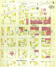
Description: Charleston, Missouri, August 1900. Streets: Pecan, Cypress, Market, Commercial, Cleveland, Olive, Green, Franklin, Centre, Main
Member of: Charleston, Missouri maps
Resource Type: cartographic
Charleston, Missouri, 1919 July, sheet 5
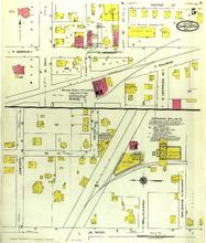
Description: Charleston, Missouri, July 1919. Streets: S. Main, Mill, Iron Banks, Danforth, 1st (First) Street, Helen(Elk), N. Mathews Avenue, E. Railroad, Missouri, N. Main, N. East
Member of: Charleston, Missouri maps
Resource Type: cartographic
Centralia, Missouri, 1893 October
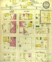
Description: Centralia, Missouri, October 1893. Streets: Sneed, Singleton, Railroad, Hickman, Allen, Rollins, Collier
Member of: Centralia, Missouri maps
Resource Type: cartographic
Centralia, Missouri, 1914 June, sheet 2
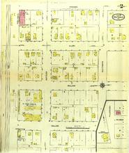
Description: Centralia, Missouri, June 1914. Streets: Hickman, Allen, Rollins, Collier, Switzler, Southgate, Fullenwider, Wilson
Member of: Centralia, Missouri maps
Resource Type: cartographic
The Saint Louis world's fair of 1904: in commemoration of the acquisition of the Louisiana territory; a handbook of general information, profusely illustrated

Member of: Louisiana Purchase Exposition: The 1904 St. Louis World's Fair (Collection)
Resource Type: Text
Centralia, Missouri, 1908 November, sheet 3
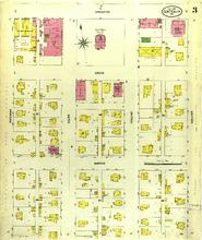
Description: Centralia, Missouri, November 1908. Streets: Barnes, Sneed, Singleton, Hickman, Allen, Rollins, Collier
Member of: Centralia, Missouri maps
Resource Type: cartographic
Centralia, Missouri, 1914 June, sheet 3
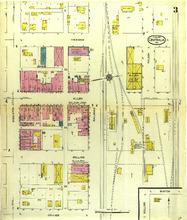
Description: Centralia, Missouri, June 1914. Streets: Singleton, Hickman, Allen, Rollins, Collier, Railroad, Wilson, Burton
Member of: Centralia, Missouri maps
Resource Type: cartographic
Centralia, Missouri, 1914 June, sheet 1
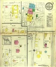
Description: Centralia, Missouri, June 1914. Index; Streets: Rollins, Barr, Hickman, Collier, Barnes, Sneed, North, Jefferson, Bradford, Rodemeyer
Member of: Centralia, Missouri maps
Resource Type: cartographic
Centralia, Missouri, 1899 May, sheet 1
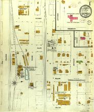
Description: Centralia, Missouri, May 1899. Streets: Railroad, Wilson, Hickman, Allen, Rollins, Collier, Switzler, Jefferson, Rodemeyer
Member of: Centralia, Missouri maps
Resource Type: cartographic
Chaffee, Missouri, 1911 October, sheet 1
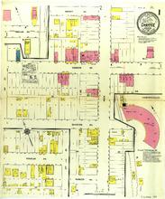
Description: Chaffee, Missouri, October 1911. Streets: Wright Avenue, Yoakum Avenue, Division Avenue, Parker Avenue, 2nd (Second) Street, Main
Member of: Chaffee, Missouri maps
Resource Type: cartographic
Chaffee, Missouri, 1911 October, sheet 2
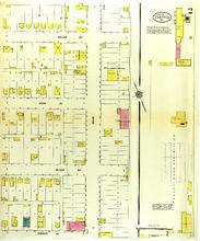
Description: Chaffee, Missouri, October 1911. Streets: Wright Avenue, Black Avenue, Cook Avenue, Helen Avenue, Main
Member of: Chaffee, Missouri maps
Resource Type: cartographic
Chamois, Missouri, 1920 July
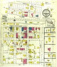
Description: Chamois, Missouri, July 1920. Streets: 3rd (Third) Street, 2nd (Second) Street, 1st (First) Street, Pacific, Tennesee, Missouri, Avenue, Locust, Main, Market, Cherry
Member of: Chamois, Missouri maps
Resource Type: cartographic
Chillicothe, Missouri, 1909 April, sheet 09
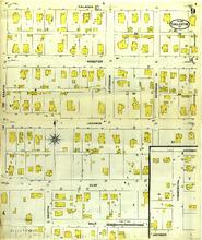
Description: Chillicothe, Missouri, April 1909. Streets: Gale, Clay, Jackson, Webster, Calhoun, Eastin, Martin, Jefferson, Woodward Avenue, Commercial, Montgomery
Member of: Chillicothe, Missouri maps
Resource Type: cartographic
Chillicothe, Missouri, 1901 November, sheet 12
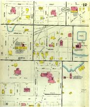
Description: Chillicothe, Missouri, November 1901. Streets: 9th (Ninth) Street, Vine, Trenton, Easton, 10th (Tenth) Street, Cherry, Bryan, Washington, Spring Hill, Leeper, Washington, High, Henry, Violet, Maple, Polk
Member of: Chillicothe, Missouri maps
Resource Type: cartographic
Chillicothe, Missouri, 1896 February, sheet 4
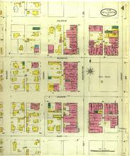
Description: Chillicothe, Missouri, February 1896. Streets: Clay, Jackson, Webster, Calhoun, Locust, Washinton, Cherry, Walnut
Member of: Chillicothe, Missouri maps
Resource Type: cartographic
Chillicothe, Missouri, 1896 February, sheet 5
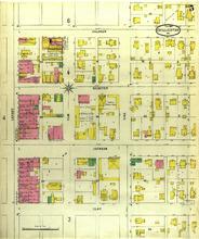
Description: Chillicothe, Missouri, February 1896. Streets: Clay, Jackson, Webster, Calhoun, Locust, Elm, Vine
Member of: Chillicothe, Missouri maps
Resource Type: cartographic
Charleston, Missouri, 1893 May, sheet 1
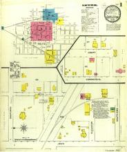
Description: Charleston, Missouri, May 1893. Index; Streets: Main, Mill, Danforth, Elevator, Southend, Commercial, Court
Member of: Charleston, Missouri maps
Resource Type: cartographic
Charleston, Missouri, 1900 August, sheet 3
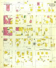
Description: Charleston, Missouri, August 1900. Streets: Pecan, Cypress, Market, Commercial, Court, State, Main, East, Jim
Member of: Charleston, Missouri maps
Resource Type: cartographic
Charleston, Missouri, 1886 July, sheet 1
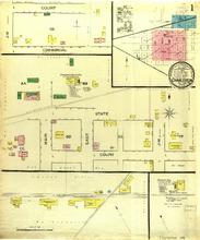
Description: Charleston, Missouri, July 1886. Streets: Main, Court, State, East, Jim, Commercial, Court
Member of: Charleston, Missouri maps
Resource Type: cartographic
Charleston, Missouri, 1911 September, sheet 3
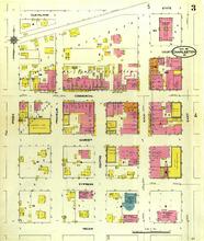
Description: Charleston, Missouri, September 1911. Streets: Pecan, Cypress, Market, Commercial, Cleveland, Green, Franklin, Centre, Main, East, Court, State
Member of: Charleston, Missouri maps
Resource Type: cartographic
Charleston, Missouri, 1911 September, sheet 4
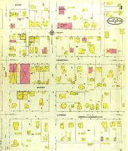
Description: Charleston, Missouri, September 1911. Streets: Cypress, Market, Commercial, Court, State, East, Jim
Member of: Charleston, Missouri maps
Resource Type: cartographic
Zur amerikanischen Pferdezucht
Member of: Louisiana Purchase Exposition: The 1904 St. Louis World's Fair (Collection)
Resource Type: Text
Charleston, Missouri, 1893 May, sheet 2
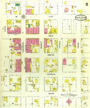
Description: Charleston, Missouri, May 1893. Streets: Green, Franklin, Centre, Main, East, Court, Commercial, Market, Cypress, Pecan
Member of: Charleston, Missouri maps
Resource Type: cartographic
Charleston, Missouri, 1911 September, sheet 5
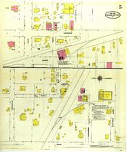
Description: Charleston, Missouri, September 1911. Streets: Main, Mill, Danforth, Elevator, Southend, State, Main, East, Missouri
Member of: Charleston, Missouri maps
Resource Type: cartographic
Charleston, Missouri, 1919 July, sheet 3
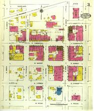
Description: Charleston, Missouri, July 1919. Streets: Pecan, Cypress, Market, Commercial, Court, W. Railroad, Cleveland, Green, Franklin, Centre, Main, East
Member of: Charleston, Missouri maps
Resource Type: cartographic
Charleston, Missouri, 1893 May, sheet 3
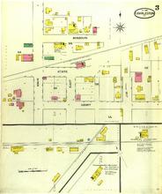
Description: Charleston, Missouri, May 1893. Streets: Court, State, Missouri, Main, East, Jim
Member of: Charleston, Missouri maps
Resource Type: cartographic
Charleston, Missouri, 1911 September, sheet 2
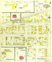
Description: Charleston, Missouri, September 1911. Streets: Pecan, Cypress, Market, Commercial, Cleveland, Elm, Locust, Olive, Green
Member of: Charleston, Missouri maps
Resource Type: cartographic
Charleston, Missouri, 1900 August, sheet 1
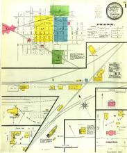
Description: Charleston, Missouri, August 1900. Index; Streets: Commercial
Member of: Charleston, Missouri maps
Resource Type: cartographic
New Mexico mines and minerals
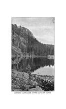
Description: Being an epitome of the early mining history and resources of New Mexican mines, in the various districts, down to the present time.
Member of: Louisiana Purchase Exposition: The 1904 St. Louis World's Fair (Collection)
Resource Type: Text
Charleston, Missouri, 1919 July, sheet 2
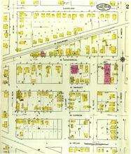
Description: Charleston, Missouri, July 1919. Streets: W. Pecan, W. Cypress, W. Market, W. Commercial, W. Railroad, Cleveland, Elm, S. Locust, S. Olive, Green
Member of: Charleston, Missouri maps
Resource Type: cartographic
Charleston, Missouri, 1911 September, sheet 1
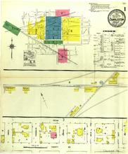
Description: Charleston, Missouri, September 1911. Index; Streets: County Rd, Pecan, Green, Franklin, Centre, Main, East
Member of: Charleston, Missouri maps
Resource Type: cartographic
Charleston, Missouri, 1919 July, sheet 4
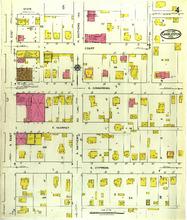
Description: Charleston, Missouri, July 1919. Streets: E. Cypress, E. Market, E. Commercial, Court, S. East, S. Mathews Avenue, 3rd (Third) Street, State, N. East
Member of: Charleston, Missouri maps
Resource Type: cartographic
Chilhowee, Missouri, 1916 September
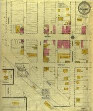
Description: Chilhowee, Missouri, September 1916. Streets: Cedar, Central, Railroad, Chestnut, Central, Main, Walnut, Pennsylvania
Member of: Chilhowee, Missouri maps
Resource Type: cartographic
Chillicothe, Missouri, 1916 June, sheet 08
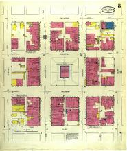
Description: Chillicothe, Missouri, June 1916. Streets: Clay, Jackson, Webster, Calhoun, Elm, Locust, Washington, Cherry
Member of: Chillicothe, Missouri maps
Resource Type: cartographic
Chillicothe, Missouri, 1909 April, sheet 11
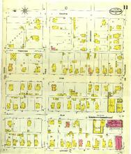
Description: Chillicothe, Missouri, April 1909. Streets: Locust, Elm, Vine, Trenton, Eastin, Ninth, Polk, Calhoun
Member of: Chillicothe, Missouri maps
Resource Type: cartographic
Chillicothe, Missouri, 1909 April, sheet 08
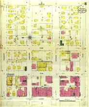
Description: Chillicothe, Missouri, April 1909. Streets: Locust, Elm, Vine, Eastin, Calhoun, Webster, Jackson, Clay
Member of: Chillicothe, Missouri maps
Resource Type: cartographic
Chillicothe, Missouri, 1916 June, sheet 13
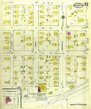
Description: Chillicothe, Missouri, June 1916. Streets: Page, 1st (First) Street, 2nd (Second) Street, 3rd (Third) Street, Walnut, Cherry, Washington, Locust, Jameson, Graves
Member of: Chillicothe, Missouri maps
Resource Type: cartographic
Chillicothe, Missouri, 1909 April, sheet 07
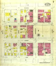
Description: Chillicothe, Missouri, April 1909. Streets: Clay, Jackson, Webster, Calhoun, Walnut, Cherry, Washington, Locust
Member of: Chillicothe, Missouri maps
Resource Type: cartographic
Chillicothe, Missouri, 1890 January, sheet 7
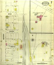
Description: Chillicothe, Missouri, January 1890. Streets: Jackson, Webster, Calhoun, Bridge, Broadway, 3rd (Third) Street
Member of: Chillicothe, Missouri maps
Resource Type: cartographic
Chillicothe, Missouri, 1890 January, sheet 1
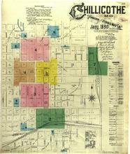
Description: Chillicothe, Missouri, January 1890. Index
Member of: Chillicothe, Missouri maps
Resource Type: cartographic
Chillicothe, Missouri, 1916 June, sheet 05
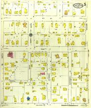
Description: Chillicothe, Missouri, June 1916. Streets: Calhoun, Mechanic Street, Polk, 9th (Ninth) Street, Eastin, Maple, Jefferson, Woodward Avenue, Broadway
Member of: Chillicothe, Missouri maps
Resource Type: cartographic
Chillicothe, Missouri, 1909 April, sheet 02
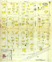
Description: Chillicothe, Missouri, April 1909. Streets: First, Second, Third, Walnut, Cherry, Washington, Locust, Graves, Jameson
Member of: Chillicothe, Missouri maps
Resource Type: cartographic
Chillicothe, Missouri, 1909 April, sheet 01
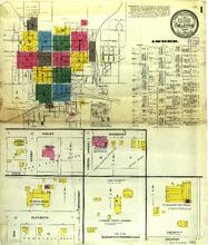
Description: Chillicothe, Missouri, April 1909. Index; Streets: Calhoun, Broadway, Eleventh, Oak, Curtis, Henry, Violet, Madison, Libera (Asher)
Member of: Chillicothe, Missouri maps
Resource Type: cartographic
Chillicothe, Missouri, 1916 June, sheet 15
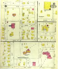
Description: Chillicothe, Missouri, June 1916. Streets: 9th (Ninth) Street, Elm, Vine, Trenton, 10th (Tenth) Street, Eastin, Spring Hill, Normal Avenue, Irving Avenue, McAnalley, Monroe, Walnut, Oak, 11th Street, Broadway, Calhoun
Member of: Chillicothe, Missouri maps
Resource Type: cartographic
Chillicothe, Missouri, 1890 January, sheet 5
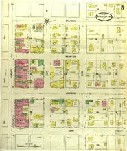
Description: Chillicothe, Missouri, January 1890. Streets: Clay, Jackson, Webster, Calhoun, Locust, Elm, Vine
Member of: Chillicothe, Missouri maps
Resource Type: cartographic
Chillicothe, Missouri, 1896 February, sheet 2
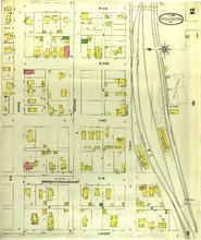
Description: Chillicothe, Missouri, February 1896. Streets: Locust, Elm, Vine, Slack, Ryan, Third, Second, First
Member of: Chillicothe, Missouri maps
Resource Type: cartographic
Manual of the Louisiana Purchase Exposition, World's Fair, Saint Louis, 1904
Member of: Louisiana Purchase Exposition: The 1904 St. Louis World's Fair (Collection)
Resource Type: Text
Chillicothe, Missouri, 1896 February, sheet 3
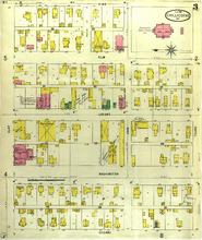
Description: Chillicothe, Missouri, February 1896. Streets: Cherry, Washington, Locust, Elm, Vine, Clay, Ann, Third
Member of: Chillicothe, Missouri maps
Resource Type: cartographic
Chillicothe, Missouri, 1901 November, sheet 04
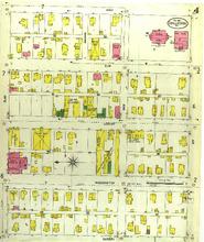
Description: Chillicothe, Missouri, November 1901. Streets: Cherry, Washington, Locust, Elm, Vine, Clay, Amanda, Ann, 3rd (Third) Street
Member of: Chillicothe, Missouri maps
Resource Type: cartographic
Chillicothe, Missouri, 1901 November, sheet 11
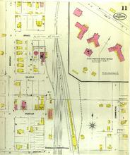
Description: Chillicothe, Missouri, November 1901. Streets: Jackson, Webster, Calhoun, Bridge, Broadway, Commercial
Member of: Chillicothe, Missouri maps
Resource Type: cartographic
Chillicothe, Missouri, 1916 June, sheet 06
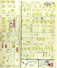
Description: Chillicothe, Missouri, June 1916. Streets: Jackson, Webster, Calhoun, Bridge, Broadway, Clay, Dickenson, Wilson
Member of: Chillicothe, Missouri maps
Resource Type: cartographic
Chillicothe, Missouri, 1916 June, sheet 03
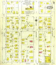
Description: Chillicothe, Missouri, June 1916. Streets: Calhoun, Bryan, Walnut, Cherry, Washington, Locust, Spring Hill
Member of: Chillicothe, Missouri maps
Resource Type: cartographic
Chillicothe, Missouri, 1896 February, sheet 8
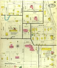
Description: Chillicothe, Missouri, February 1896. Streets: Ninth, Vine, Trenton, Tenth, Eastin, Walnut, Third, Cherry, Bryan, Washington, Henry, Violet, Polk
Member of: Chillicothe, Missouri maps
Resource Type: cartographic
Chillicothe, Missouri, 1916 June, sheet 12
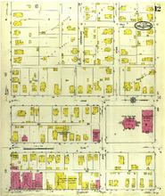
Description: Chillicothe, Missouri, June 1916. Streets: Locust, Elm, Vine, Clay, Ann, Herriman, Wise, 3rd (Third) Street, Hill
Member of: Chillicothe, Missouri maps
Resource Type: cartographic
Chillicothe, Missouri, 1901 November, sheet 01
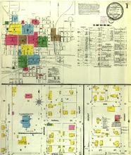
Description: Chillicothe, Missouri, November 1901. Index; Streets: Spring Hill, Normal Avenue, McAnalley, Monroe, Walnut, Cherry, Ann, 3rd (Third) Street
Member of: Chillicothe, Missouri maps
Resource Type: cartographic
Chillicothe, Missouri, 1890 January, sheet 8
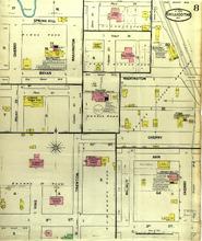
Description: Chillicothe, Missouri, January 1890. Streets: 9th (Ninth) Street, Vine, Trenton, 10th (Tenth) Street, Walnut, Ann, 3rd (Third) Street, Cherry, Washington, Bryan, Spring Hill, Henry Street, Violet Street, Polk Street, Eastin Street
Member of: Chillicothe, Missouri maps
Resource Type: cartographic
Chillicothe, Missouri, 1916 June, sheet 04
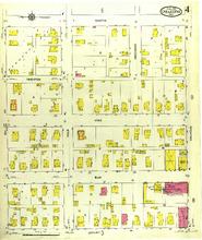
Description: Chillicothe, Missouri, June 1916. Streets: Locust, Elm, Vine, Eastin, 9th (Ninth) Street, Polk, Mechanic, Calhoun
Member of: Chillicothe, Missouri maps
Resource Type: cartographic
Chillicothe, Missouri, 1909 April, sheet 13
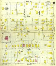
Description: Chillicothe, Missouri, April 1909. Streets: Calhoun, Cooper, Polk, Bryan, Spring Hill, Fair, McAalley, Monroe, Walnut, Dickenson
Member of: Chillicothe, Missouri maps
Resource Type: cartographic
Chillicothe, Missouri, 1909 April, sheet 03
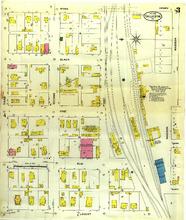
Description: Chillicothe, Missouri, April 1909. Streets: Locust, Elm, Vine, Slack, Ryan, Third, Second, First, Madison, Church, Asher
Member of: Chillicothe, Missouri maps
Resource Type: cartographic
Chillicothe, Missouri, 1901 November, sheet 08
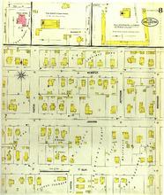
Description: Chillicothe, Missouri, November 1901. Streets: Clay, Jackson, Webster, Easton, Martin, Jefferson, Woodward, Dickenson Street, Bryan Street, Polk Street
Member of: Chillicothe, Missouri maps
Resource Type: cartographic
Chillicothe, Missouri, 1901 November, sheet 07
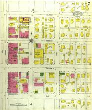
Description: Chillicothe, Missouri, November 1901. Streets: Clay, Jackson, Webster, Calhoun, Locust, Elm, Vine
Member of: Chillicothe, Missouri maps
Resource Type: cartographic
Chillicothe, Missouri, 1896 February, sheet 6
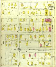
Description: Chillicothe, Missouri, February 1896. Streets: Cherry, Washington, Locust, Elm, Vine, Ninth, Bryan, Polk, Calhoun
Member of: Chillicothe, Missouri maps
Resource Type: cartographic
Chillicothe, Missouri, 1909 April, sheet 10
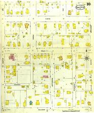
Description: Chillicothe, Missouri, April 1909. Streets: Calhoun,Polk, Ninth, Eastin, Mechanic, Maple, Jefferson, Woodward, Broadway
Member of: Chillicothe, Missouri maps
Resource Type: cartographic
Chillicothe, Missouri, 1901 November, sheet 10
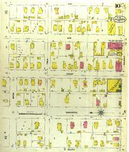
Description: Chillicothe, Missouri, November 1901. Streets: Cherry, Washington, Locust, Elm, Vine, Bryan, Polk, Calhoun
Member of: Chillicothe, Missouri maps
Resource Type: cartographic
Chillicothe, Missouri, 1896 February, sheet 1
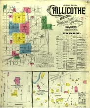
Description: Chillicothe, Missouri, February 1896. Index; Streets: McAnalley, Springhill, Monroe, Leeper, Washington Street, High Street
Member of: Chillicothe, Missouri maps
Resource Type: cartographic
The World's Fair
Member of: Louisiana Purchase Exposition: The 1904 St. Louis World's Fair (Collection)
Resource Type: Text
Chillicothe, Missouri, 1885 December, sheet 3
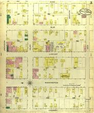
Description: Chillicothe, Missouri, December 1885. Streets: Cherry, Washington, Locust, Elm, Jackson, Vine, Jackson, Clay, Ann, Amanda
Member of: Chillicothe, Missouri maps
Resource Type: cartographic
Chillicothe, Missouri, 1909 April, sheet 04
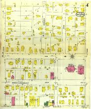
Description: Chillicothe, Missouri, April 1909. Streets: Locust, Elm, Vine, Clay, Herriman, Wise, Hill, Third,
Member of: Chillicothe, Missouri maps
Resource Type: cartographic
Chillicothe, Missouri, 1901 November, sheet 09
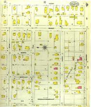
Description: Chillicothe, Missouri, November 1901. Streets: Fair, McAnalley, Monroe, Walnut, Cherry, Bryan, Polk, Cooper, Calhoun
Member of: Chillicothe, Missouri maps
Resource Type: cartographic
Chillicothe, Missouri, 1916 June, sheet 11
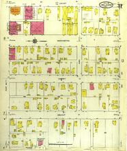
Description: Chillicothe, Missouri, June 1916. Streets: Monroe, Walnut, Cherry, Washington, Locust, Clay, Ann, 3rd (Third) Street
Member of: Chillicothe, Missouri maps
Resource Type: cartographic
Chillicothe, Missouri, 1916 June, sheet 16
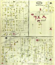
Description: Chillicothe, Missouri, June 1916. Streets: Curtis, Waples, Leeper, Graves, High, Church, Asher, Liberia, Conn, Henry, Violet, Primrose, Madison, Jackson, Chicago Avenue, Missouri, Avenue, Commercial Avenue, Bridge, Paul, Orchard, Linn, Dickenson, 3rd (Third) Street
Member of: Chillicothe, Missouri maps
Resource Type: cartographic
Chillicothe, Missouri, 1916 June, sheet 10
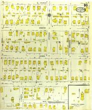
Description: Chillicothe, Missouri, June 1916. Streets: Gale, Clay, Jackson, Webster, Calhoun, Eastin, Martin, Jefferson, Woodward
Member of: Chillicothe, Missouri maps
Resource Type: cartographic
Chillicothe, Missouri, 1885 December, sheet 2
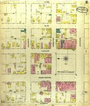
Description: Chillicothe, Missouri, December 1885. Streets: Cherry, Washington, Locust, Elm, Vine, Calhoun, Webster, Jackson
Member of: Chillicothe, Missouri maps
Resource Type: cartographic
Chillicothe, Missouri, 1909 April, sheet 14
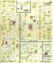
Description: Chillicothe, Missouri, April 1909. Streets: Jackson, Webster, Calhoun, Bridge, Broadway, Leeper, High, Washington, Spring Hill, McAnalley, Monroe, Normal Avenue, Walnut, Irving Avenue
Member of: Chillicothe, Missouri maps
Resource Type: cartographic
Chillicothe, Missouri, 1916 June, sheet 02
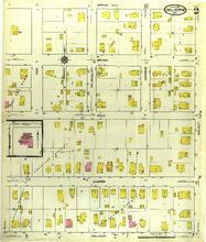
Description: Chillicothe, Missouri, June 1916. Streets: Calhoun, Cooper, Polk, Bryan, Spring Hill, Dickerson, Fair, McAnalley, Monroe, Walnut
Member of: Chillicothe, Missouri maps
Resource Type: cartographic
Chillicothe, Missouri, 1896 February, sheet 7
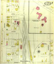
Description: Chillicothe, Missouri, February 1896. Streets: Jackson, Webster, Calhoun, Bridge, Broadway, Commercial
Member of: Chillicothe, Missouri maps
Resource Type: cartographic
Chillicothe, Missouri, 1909 April, sheet 12
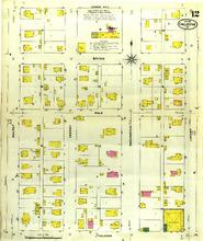
Description: Chillicothe, Missouri, April 1909. Streets: Walnut, Cherry, Washington, Locust, Calhoun, Polk, Bryan, Spring Hill
Member of: Chillicothe, Missouri maps
Resource Type: cartographic
Chillicothe, Missouri, 1901 November, sheet 02
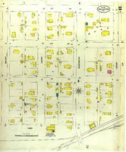
Description: Chillicothe, Missouri, November 1901. Streets: Page, 1st (First) Street, 2nd (Second) Street, 3rd (Third) Street, Walnut, Cherry, Washington, Locust
Member of: Chillicothe, Missouri maps
Resource Type: cartographic
Chillicothe, Missouri, 1885 December, sheet 1
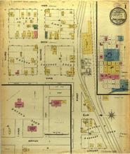
Description: Chillicothe, Missouri, December 1885. Streets: Bryan, Vine, Locust, Elm, Third, Second, Duck, Hen, First
Member of: Chillicothe, Missouri maps
Resource Type: cartographic
Clever, Missouri, 1922 November
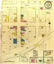
Description: Clever, Missouri, November 1922. Streets: Carpenter, Inman, Mitchell, Clark, A. Street, Kennedy
Member of: Clever, Missouri maps
Resource Type: cartographic
Clever, Missouri, 1917 March
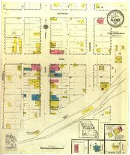
Description: Clever, Missouri, March 1917. Streets: Carpenter, Inman, Mitchell, Clark, Kennedy
Member of: Clever, Missouri maps
Resource Type: cartographic
Clinton, Missouri, 1902 February , sheet 10
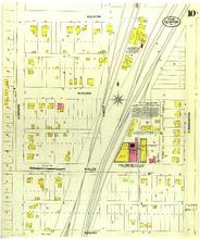
Description: Clinton, Missouri, February 1902. Streets: W. Clinton, W. Wilson, W. Allen, W. Henry, S. Orchard, S. Water, S. Washington
Member of: Clinton, Missouri maps
Resource Type: cartographic
Clinton, Missouri, 1909 December, sheet 02
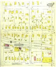
Description: Clinton, Missouri, December 1909. Streets: N. 3rd (Third) Street, N. 2nd (Second) Street, N. Main, Oak, Lincoln, E. Green
Member of: Clinton, Missouri maps
Resource Type: cartographic
Chillicothe, Missouri, 1890 January, sheet 2
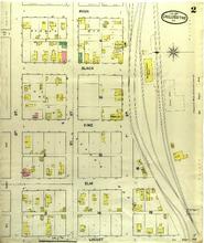
Description: Chillicothe, Missouri, January 1890. Streets: Locust, Elm, Vine, Slack, Ryan, 3rd (Third) Street, 2nd (Second) Street, 1st (First) Street
Member of: Chillicothe, Missouri maps
Resource Type: cartographic
Chillicothe, Missouri, 1890 January, sheet 6
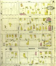
Description: Chillicothe, Missouri, January 1890. Streets: Cherry, Washington, Locust, Elm, Vine, 9th (Ninth) Street, Bryan, Polk, Calhoun
Member of: Chillicothe, Missouri maps
Resource Type: cartographic
Official catalogue of exhibitors
Description: United States -- Argentine -- Austria -- Belgium -- Brazil -- Bulgaria -- Canada -- Cuba -- France -- Germany -- Great Britain -- Holland -- Hungary -- International. Ceylon, Denmark, Hungary, Iceland, Norway, Switzerland -- Italy -- Japan -- Mexico -- Portugal -- Russia -- Sweden.,Complete title and subtitle: Official catalogue of exhibitors : Universal Exposition, St. Louis, U.S.A. 1904 : Division of Exhibits, ... Department B, Art, Halsey C. Ives, Chief.
Member of: Louisiana Purchase Exposition: The 1904 St. Louis World's Fair (Collection)
Resource Type: Text
Clarence, Missouri, 1909 May, sheet 2
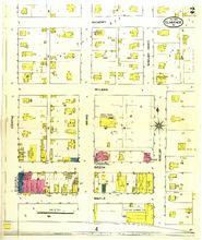
Description: Clarence, Missouri, May 1909. Streets: Hickory, Wilson, Beech, Maple, Centre, Broad, Shleby, Goat
Member of: Clarence, Missouri maps
Resource Type: cartographic
Clarence, Missouri, 1900 May, sheet 2
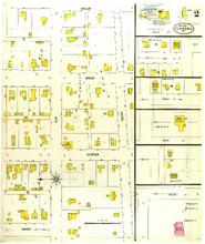
Description: Clarence, Missouri, May 1900. Streets: Shelby, Broad, Center, Grand, Elm, South, Goat Street, Church Street, College St.
Member of: Clarence, Missouri maps
Resource Type: cartographic
Clarence, Missouri, 1916 October, sheet 1
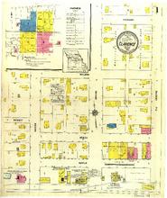
Description: Clarence, Missouri, October 1916. Index; Streets: Wilson, Beech, Maple, Dewey, Macon, Grand, Centre, Hickory
Member of: Clarence, Missouri maps
Resource Type: cartographic
Clarksville, Missouri, 1886 June, sheet 1
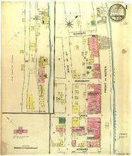
Description: Clarksville, Misosuri June 1886. Streets: Missouri, Mississippi, Lewis, Howard, Main, Second, Front, Water
Member of: Clarksville, Missouri maps
Resource Type: cartographic
Clarksville, Missouri, 1886 June, sheet 2
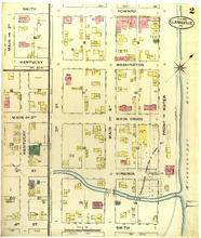
Description: Clarksville, Missouri, June 1886. Streets: Howard, Washington, Main Cross, Virginia, Smith, Kentucky, Main, Second, 3rd (Third) Street, 4th (Fourth) Street, 3rd (Third) Street, Main of Second, Front, Water
Member of: Clarksville, Missouri maps
Resource Type: cartographic
Clarksville, Missouri, 1909 September, sheet 1
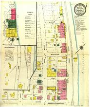
Description: Clarksville, Missouri, September 1909. Index; Streets: Missouri, Mississippi, Lewis, Road, Main, Second, Front, Water, Third, Howard
Member of: Clarksville, Missouri maps
Resource Type: cartographic
Clarksville, Missouri, 1909 September, sheet 3
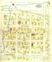
Description: Clarksville, Missouri, September 1909. Streets: Front, Water, Main, Second, Third, Fourth, Virginia, Smith, Kentucky, Tennnesse, Second, Third, Wilber, Country Road
Member of: Clarksville, Missouri maps
Resource Type: cartographic
Pagination
- Previous page
- Page 6
- Next page